
 View all 4 photos
Canary Islands Part 1 FSX & P3D
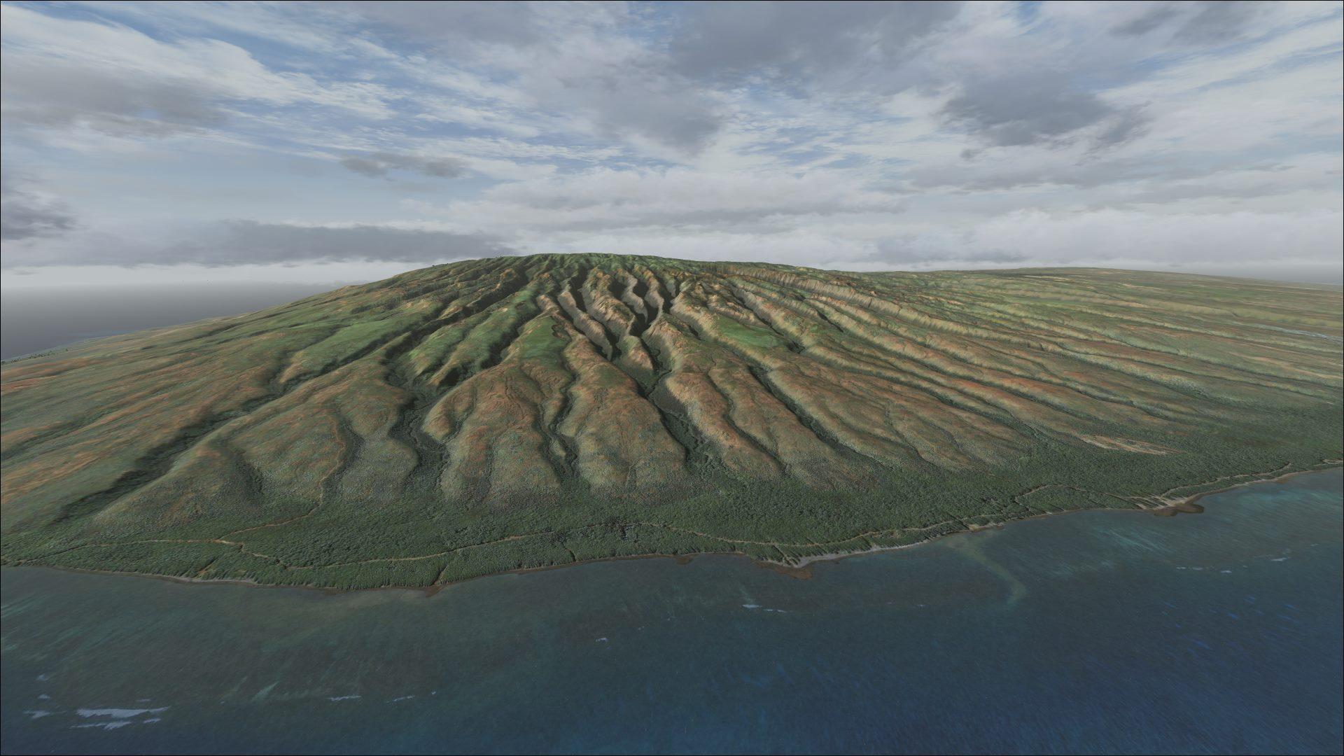
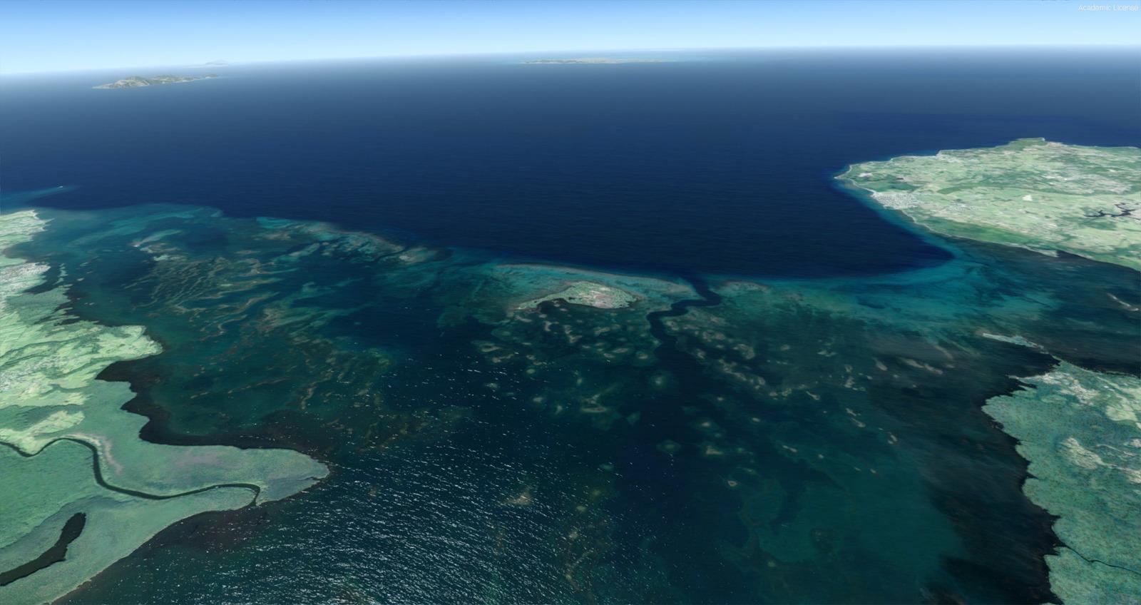
One-metre imagery, rising to 40 cm per pixel on La Gomera, comes with terrain and detailed coasts. Five airports are included, without night textures.
Follow and save
Photos (4)
Images and screenshots
4 photosFull screen
On this page
Full description
Overview
Part 1 of Alberto Sánchez’s (AHS334A) Canary Islands scenery covers El Hierro, Tenerife, La Gomera and La Palma. Installing it before Part 2 is strongly recommended.
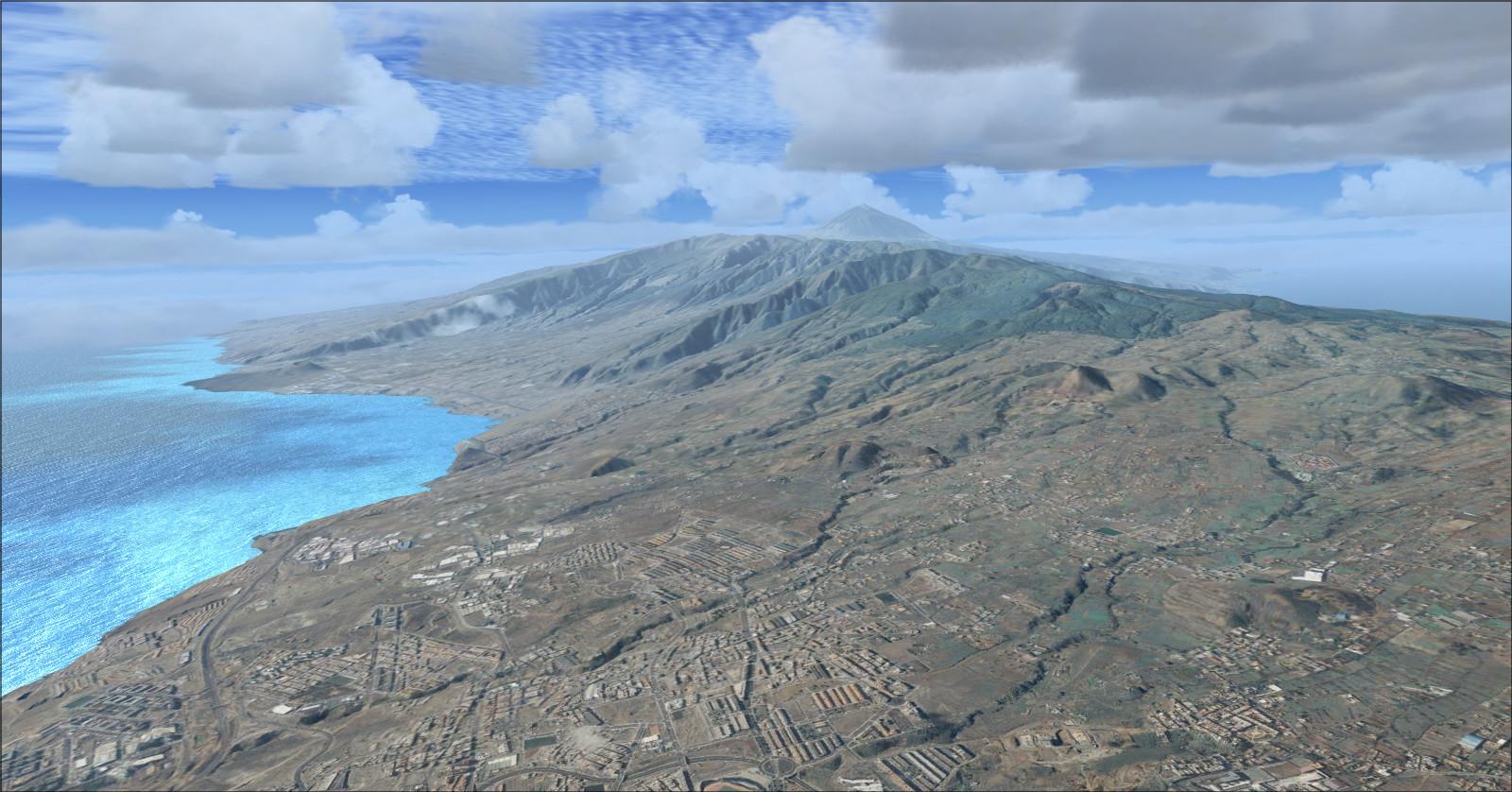
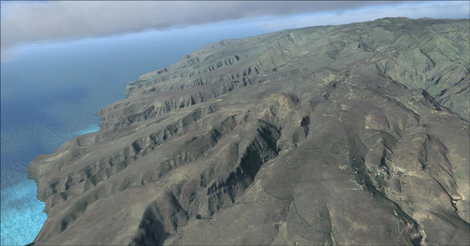
Imagery from the Spanish government’s IDE servers is supplied at 1 m per pixel, with compression stated as 85%. La Gomera receives 0.40 m-per-pixel coverage. Detailed coastlines and beaches accompany the LOD 13 terrain shared by both parts, with a mesh spacing of about 5 metres. Elevation data is credited to IGN: © INSTITUTO GEOGRÁFICO NACIONAL DE ESPAÑA.
No night textures are included. The scenery is incompatible with Canarysim: an existing Canarysim installation must be replaced to use this package.
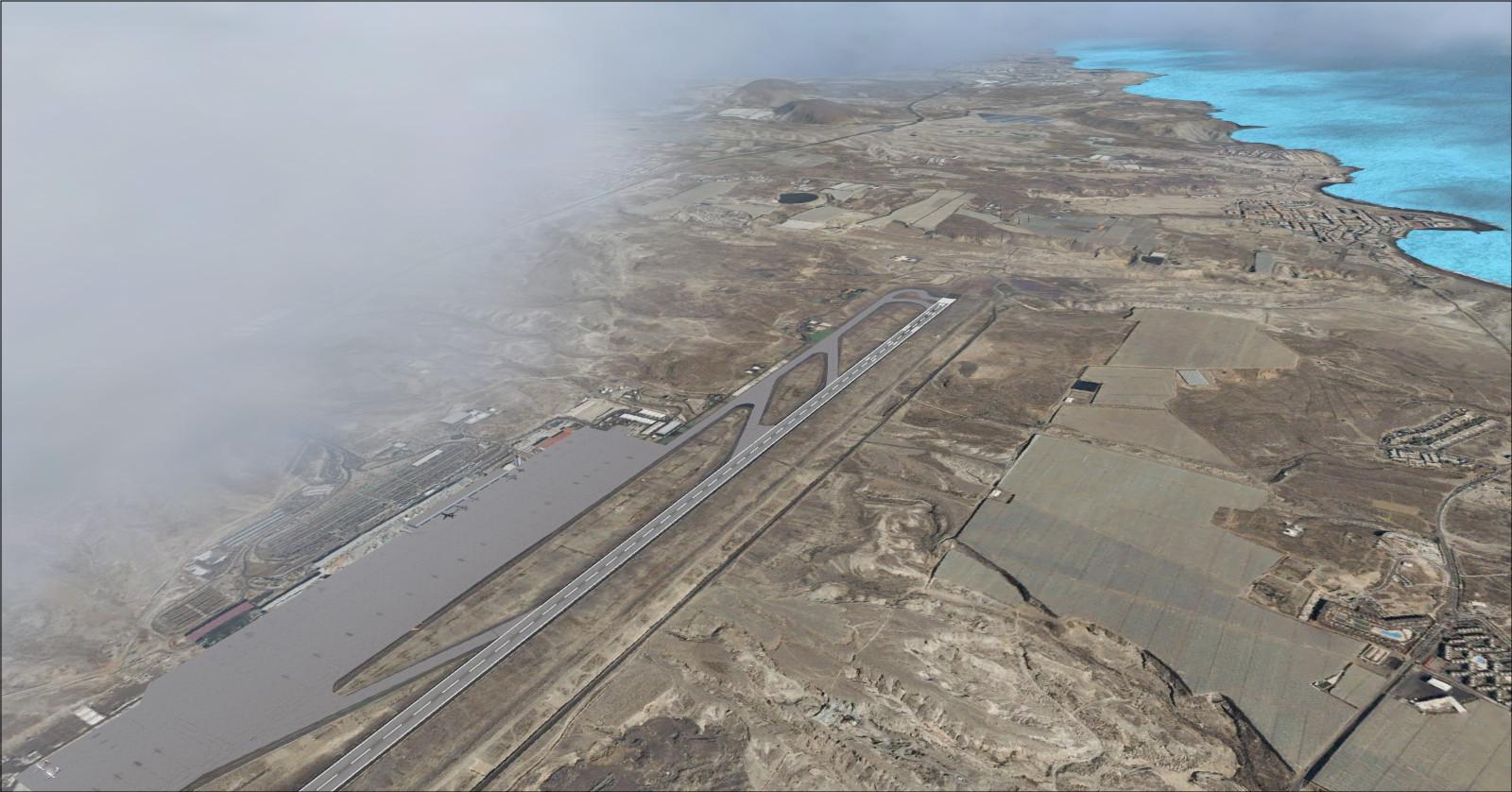
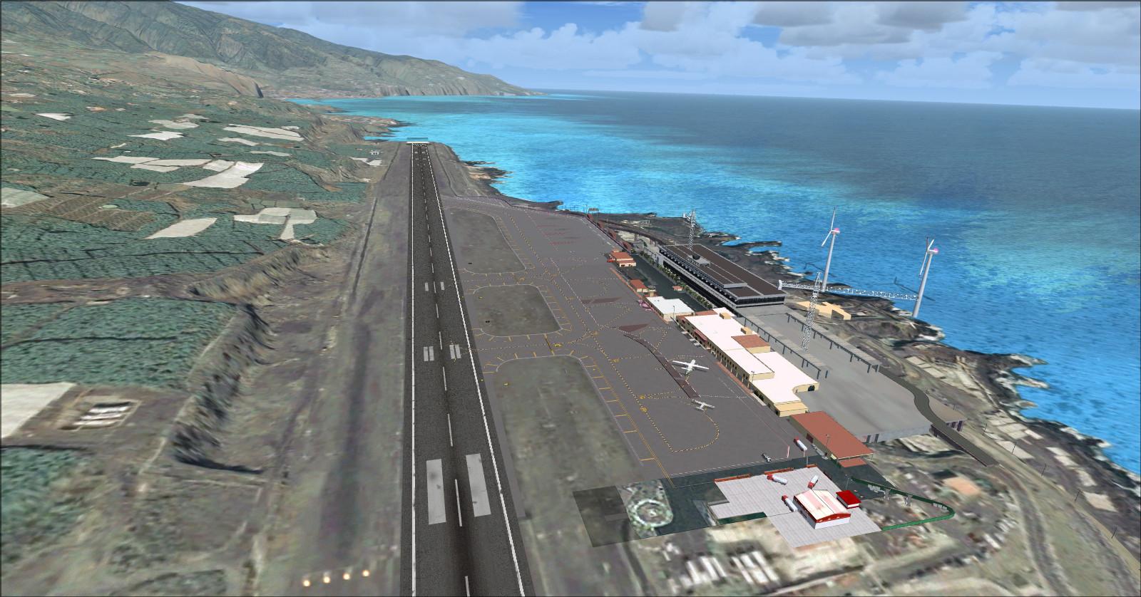
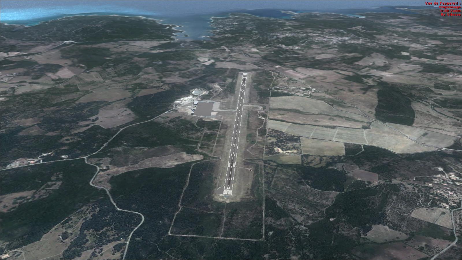
Part 1 includes El Hierro (GCHI), Tenerife South (GCTS), Tenerife North (GCXO), La Gomera (GCGM) and La Palma (GCLA) airports.

The video shows the scenery with the REX 2.0 add-on.
YouTubeEl Hierro

Tenerife

La Gomera

La Palma

Rikoooo’s v10 installer handles scenery registration and activation in FSX or Prepar3D. Uninstalling restores the original scenery configuration.
Release notes
Release notes
Licences and credits
Licences and credits
- Author
- AHS334A – Alberto Sánchez

Comments
Flight experiences, tips and questions from Rikoooo members.
Loading discussions…