
Barre des Ecrins - Photoreal plus mesh FSX & P3D
HD photographic Alpine scenery with LOD11 terrain. Includes location coordinates, a coverage map and a suggested departure from Saint-Crépin.
Images and screenshots
4 photosFull screen
On this page
Overview
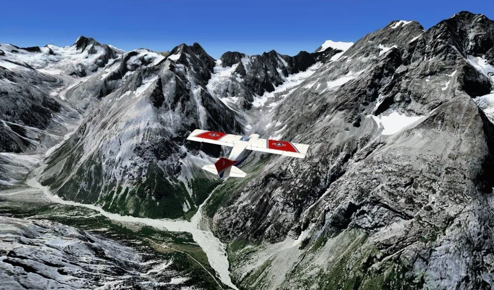
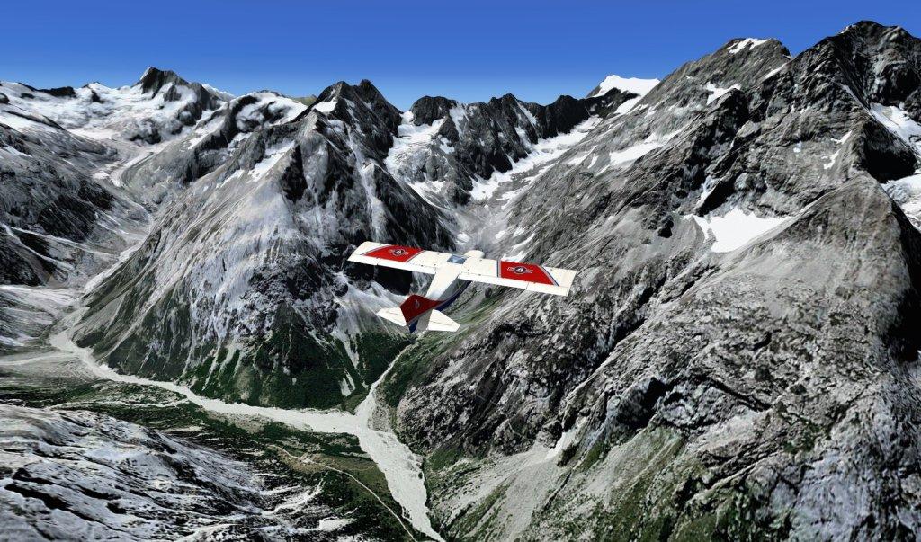
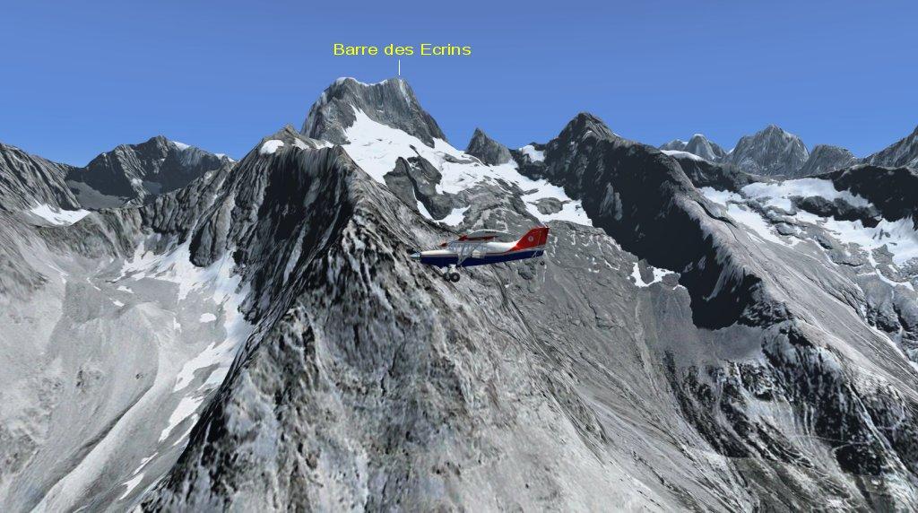
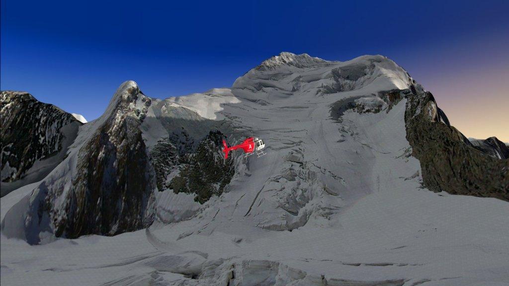
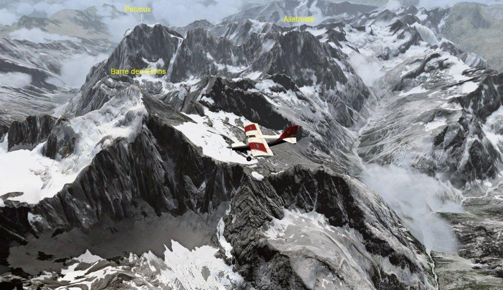
Frank Dainese depicts the Barre des Écrins and its surroundings with HD photographic textures. Rikoooo adds a LOD11 terrain mesh defining ground elevations in the southeastern Alps. Rocky faces and the glaciated side of the mountain provide contrasting scenery on flights around the massif.


Depart from Saint-Crépin (LFNC) or a Grenoble airport to reach the area. Alternatively, open the simulator’s map during a flight and enter the package’s reference position: N44°55′23″ E6°21′36″.

The following map shows the coverage of Rikoooo’s LOD11 mesh.

Installation registers and activates the scenery automatically; uninstalling restores the original scenery configuration. Documentation is available under Start → Rikoooo Add-ons → Barre des Ecrins - Photoreal plus mesh FSX & P3D. The listed download size is 298 MB.
Release notes
Licences and credits
- Author
- Frank Dainese and Rikoooo
Comments
Flight experiences, tips and questions from Rikoooo members.
Loading discussions…