
Canary Islands Part 1 FSX & P3D
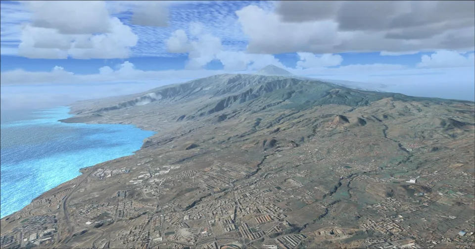
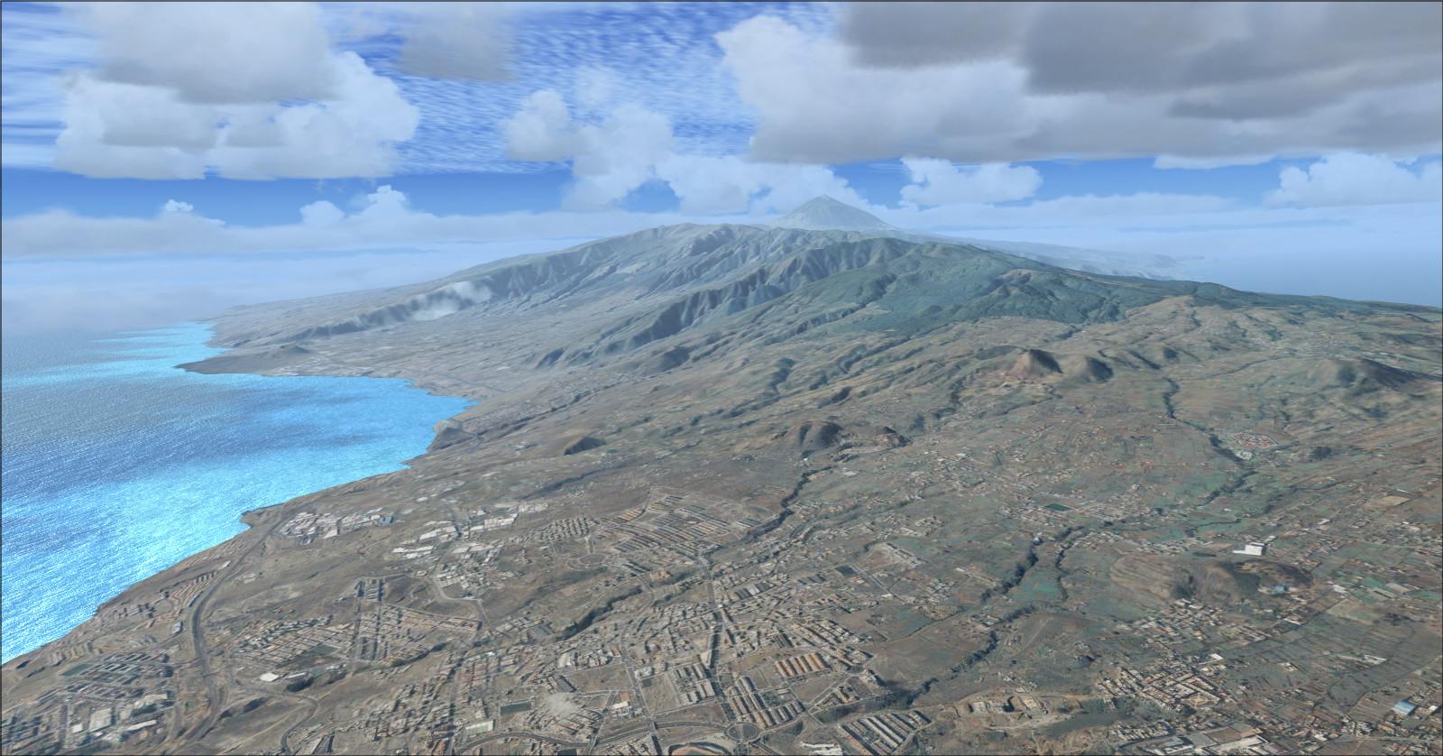
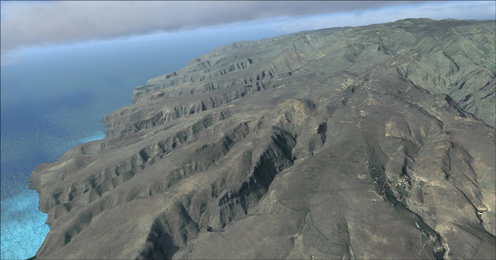
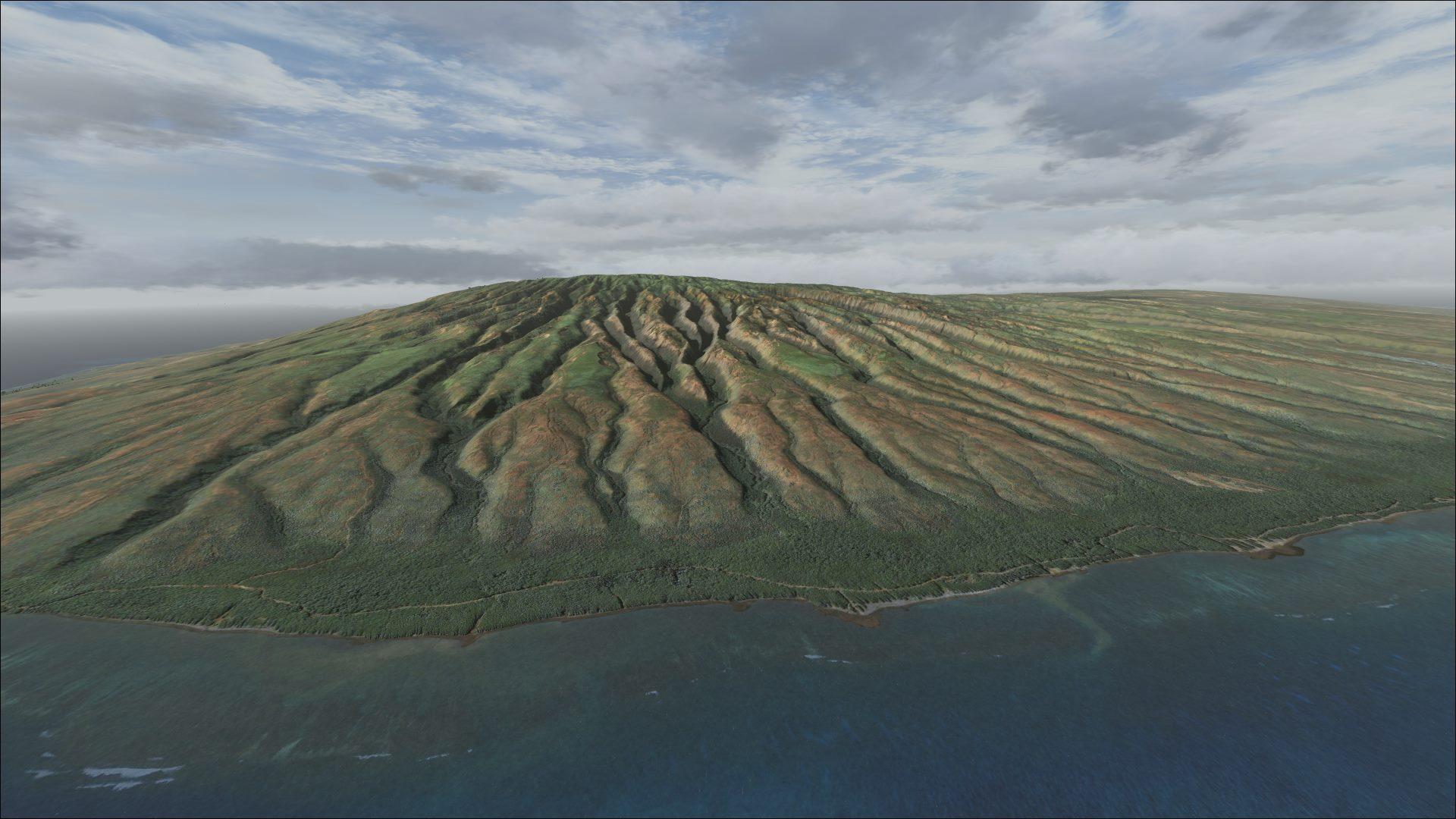
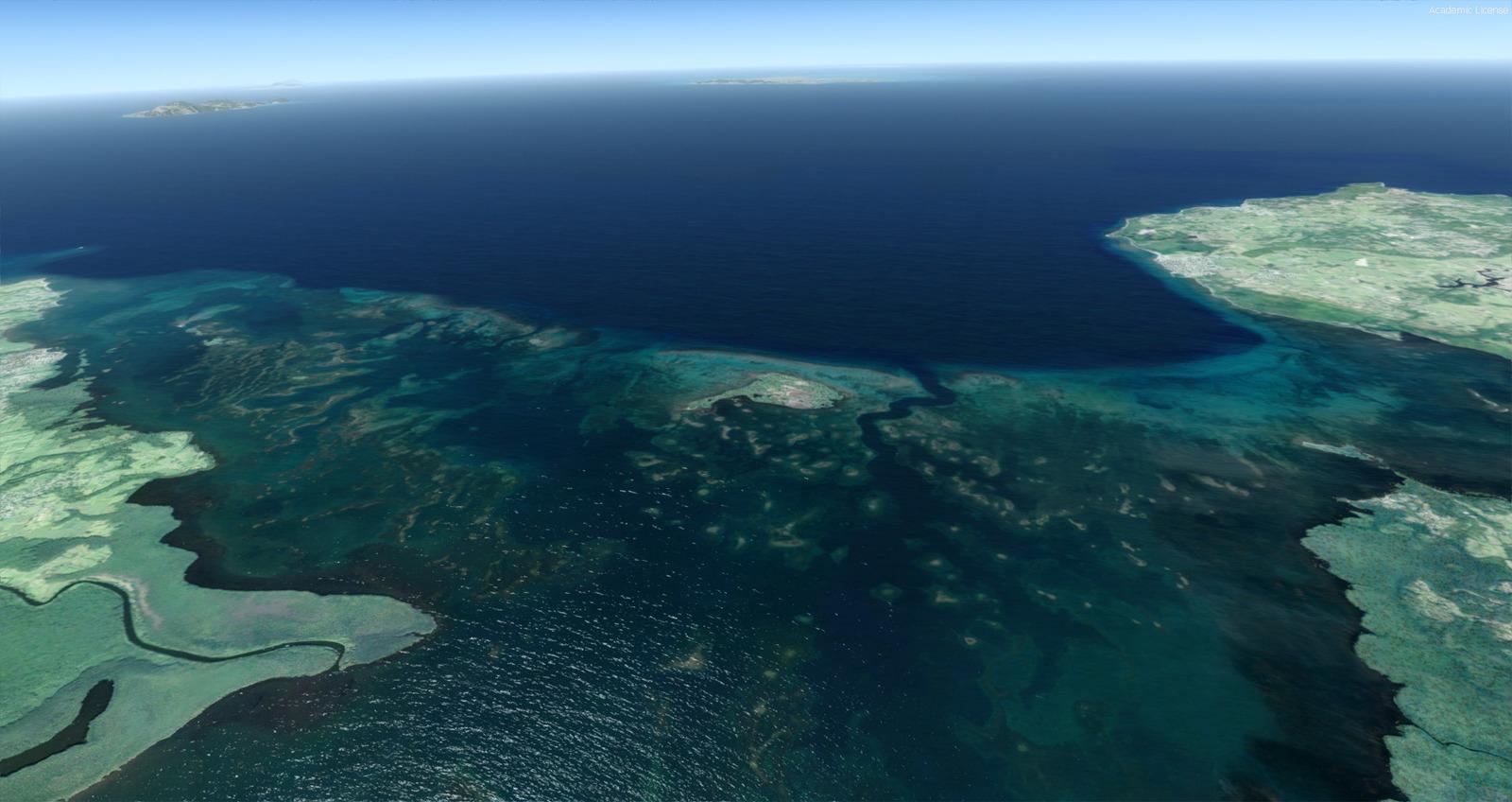
One-metre imagery, rising to 40 cm per pixel on La Gomera, comes with terrain and detailed coasts. Five airports are included, without night textures.
Images and screenshots
4 photosFull screen
On this page
Overview
Part 1 of Alberto Sánchez’s (AHS334A) Canary Islands scenery covers El Hierro, Tenerife, La Gomera and La Palma. Installing it before Part 2 is strongly recommended.
Imagery from the Spanish government’s IDE servers is supplied at 1 m per pixel, with compression stated as 85%. La Gomera receives 0.40 m-per-pixel coverage. Detailed coastlines and beaches accompany the LOD 13 terrain shared by both parts, with a mesh spacing of about 5 metres. Elevation data is credited to IGN: © INSTITUTO GEOGRÁFICO NACIONAL DE ESPAÑA.
No night textures are included. The scenery is incompatible with Canarysim: an existing Canarysim installation must be replaced to use this package.
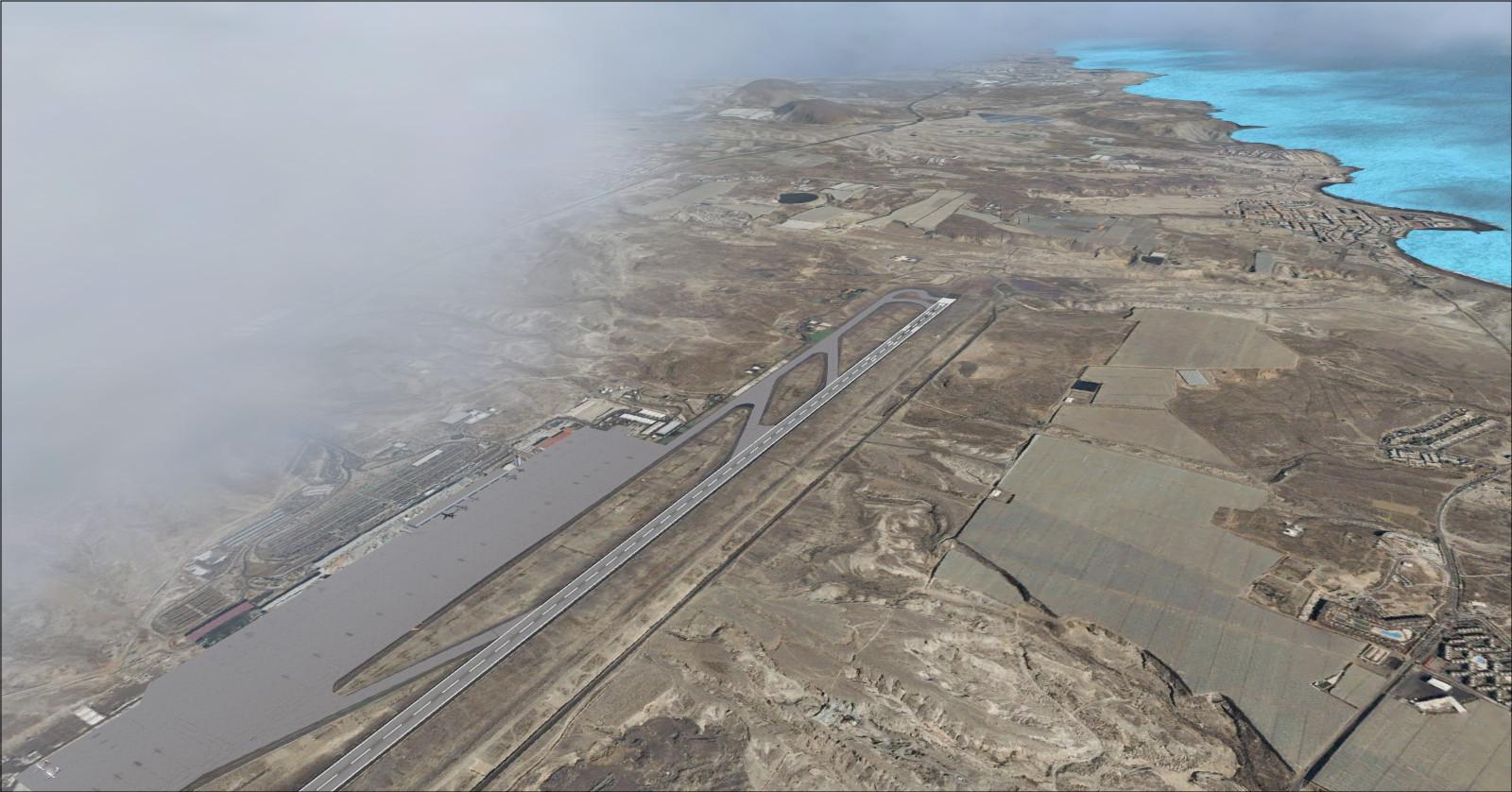
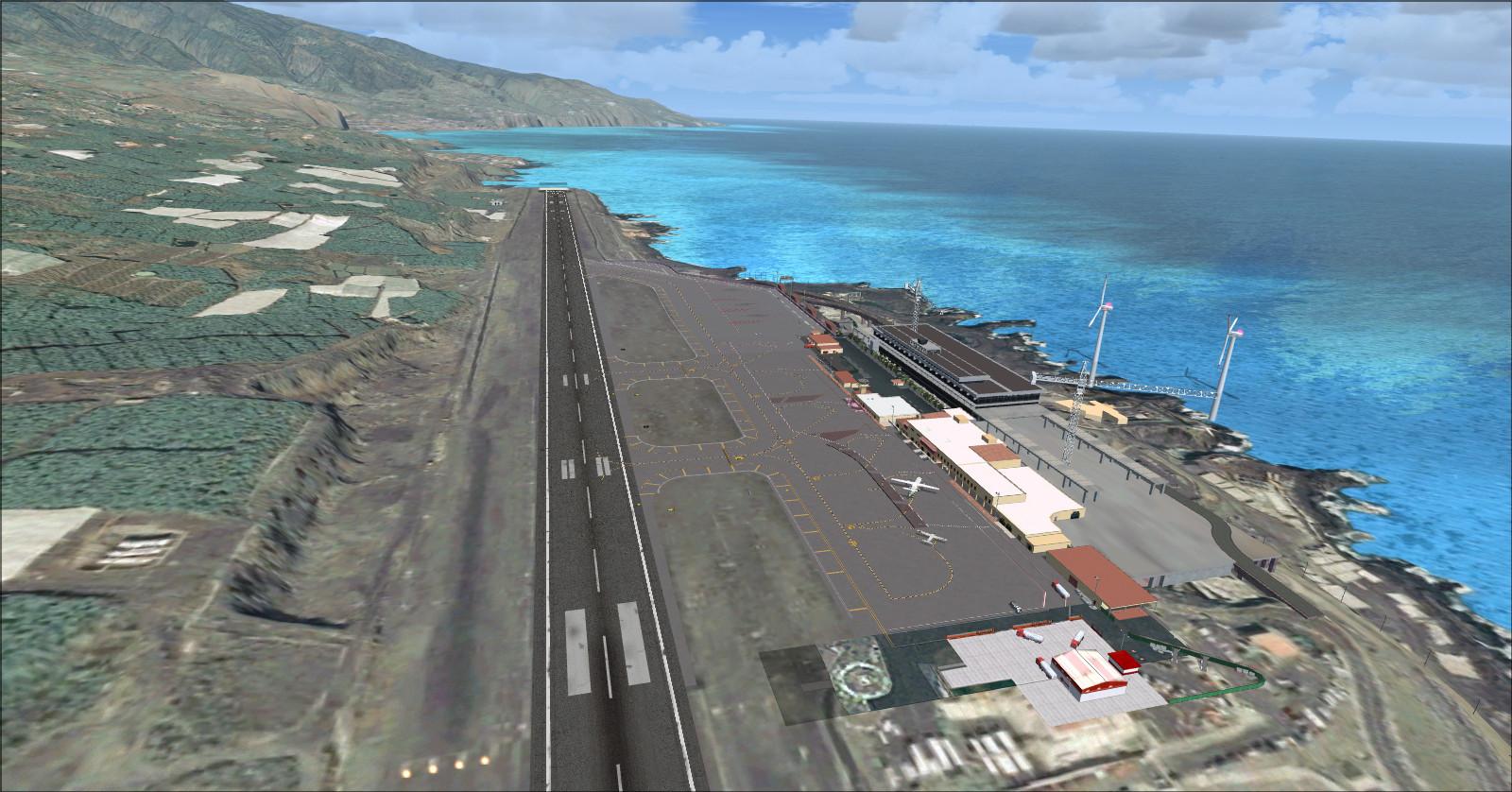
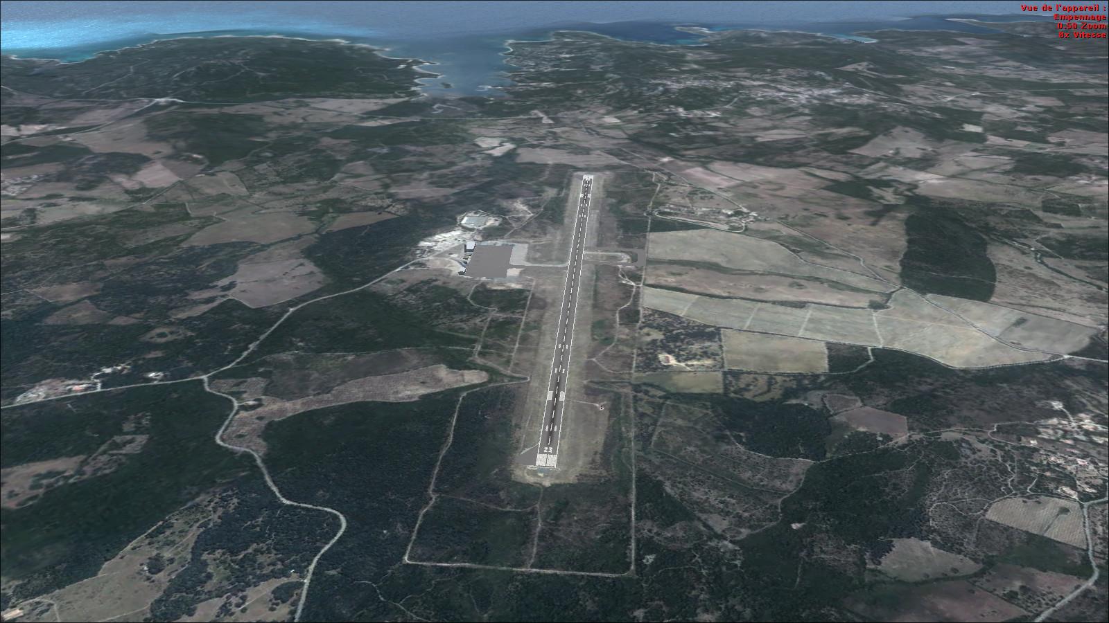
Part 1 includes El Hierro (GCHI), Tenerife South (GCTS), Tenerife North (GCXO), La Gomera (GCGM) and La Palma (GCLA) airports.

The video shows the scenery with the REX 2.0 add-on.
El Hierro

Tenerife

La Gomera

La Palma

Rikoooo’s v10 installer handles scenery registration and activation in FSX or Prepar3D. Uninstalling restores the original scenery configuration.
Release notes
Licences and credits
- Author
- AHS334A – Alberto Sánchez

Comments
Flight experiences, tips and questions from Rikoooo members.
Loading discussions…