
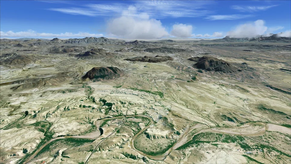
Big Bend National Park Part1 FSX & P3D
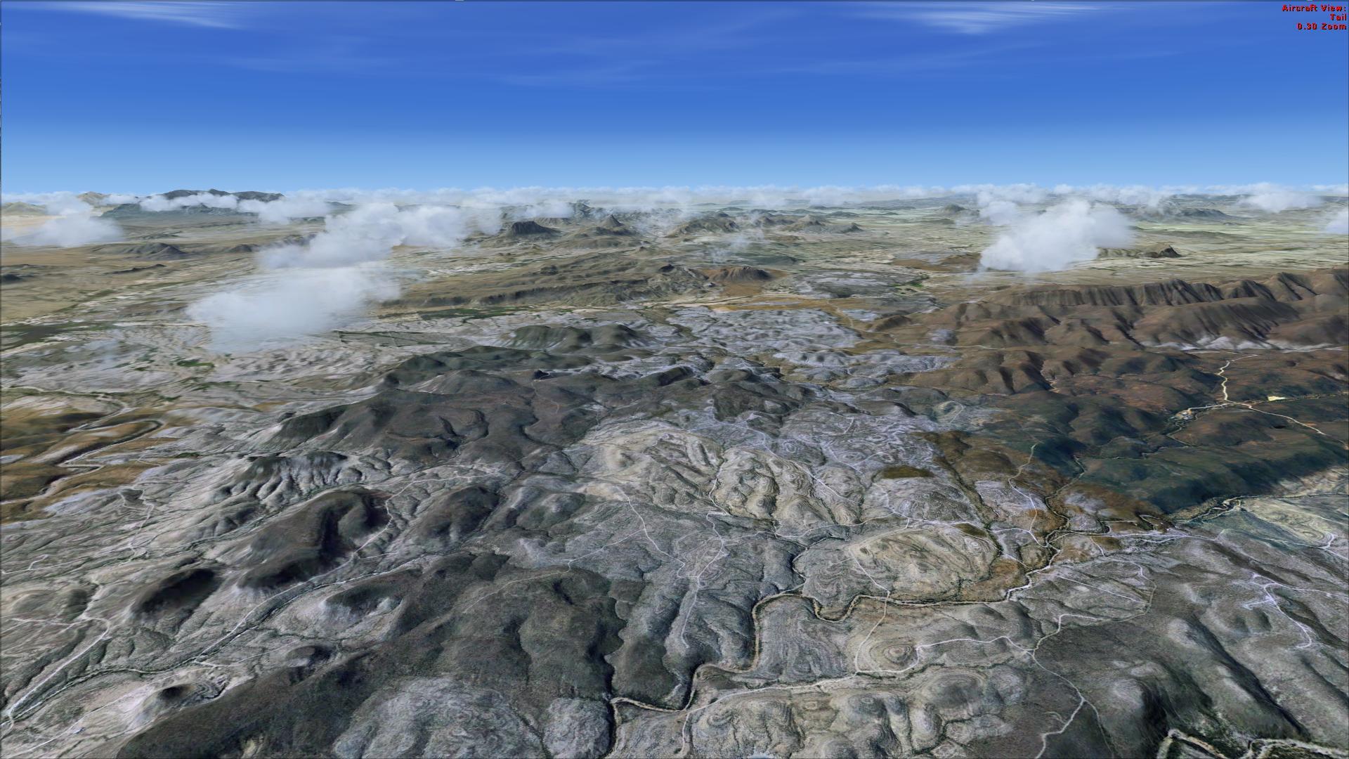
Western desert coverage at 1 m/pixel, with 10 m terrain mesh and corrected airport positions. Two local airfields provide starting points.
Images and screenshots
4 photosFull screen
On this page
Overview
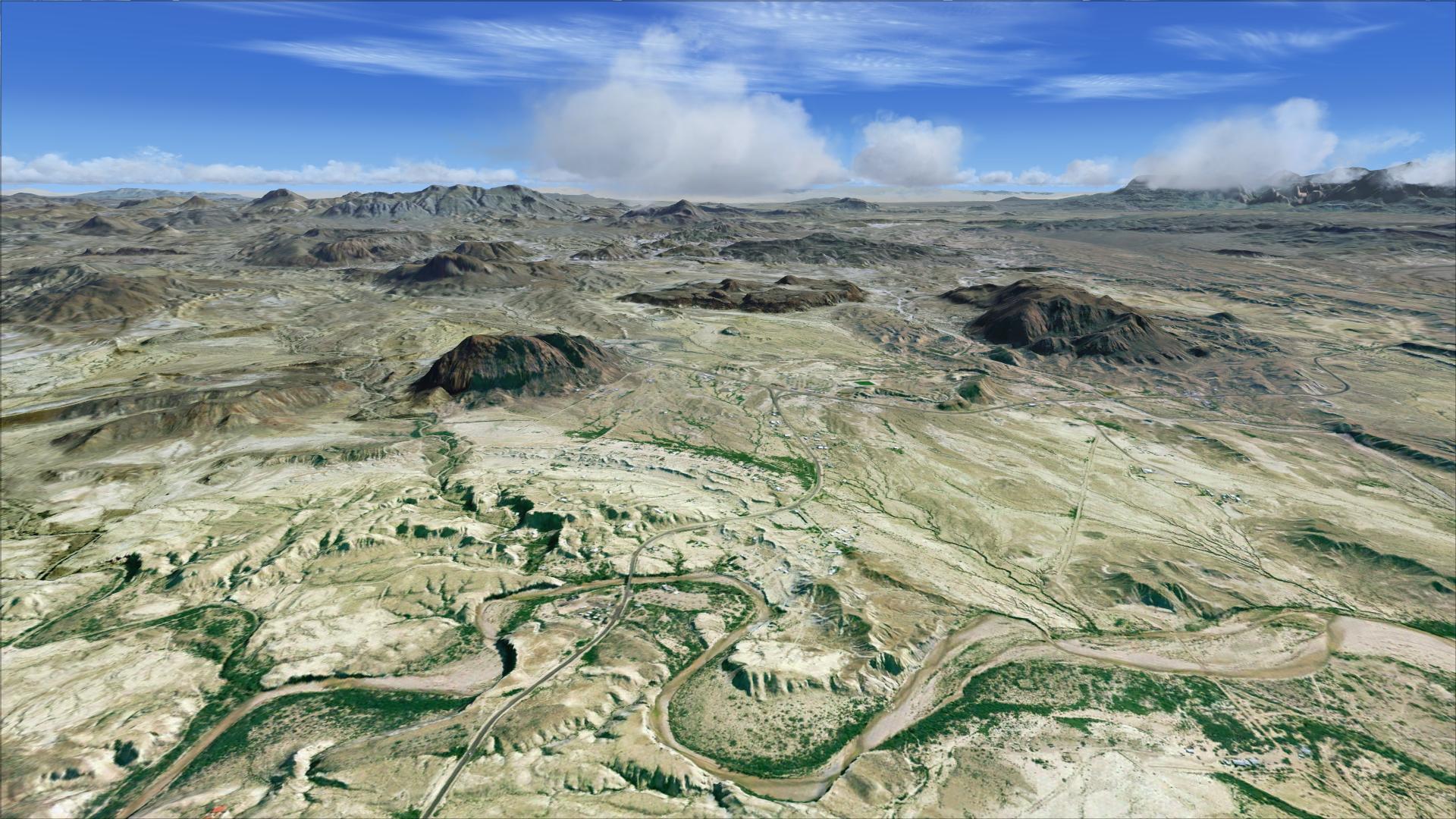
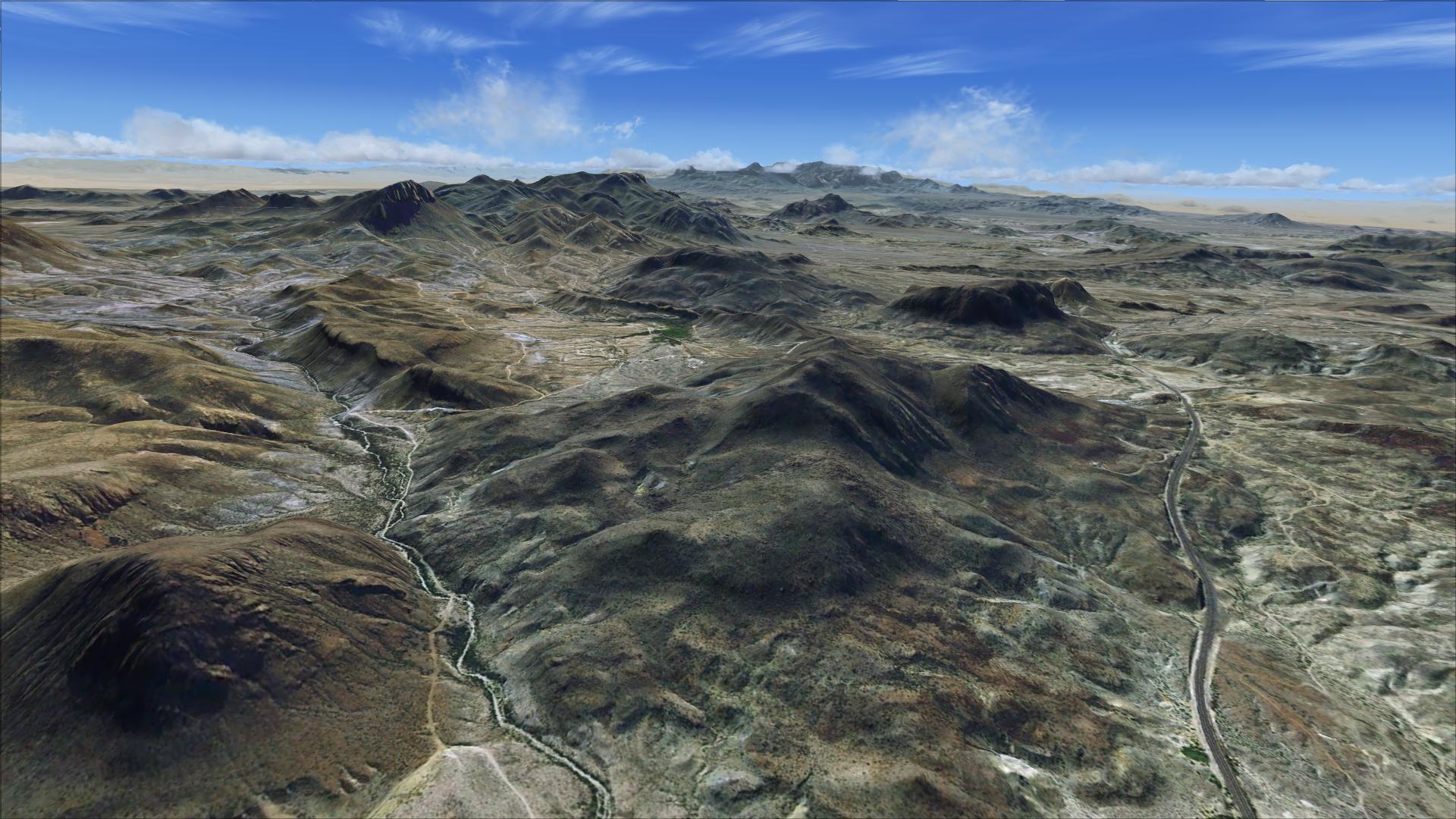
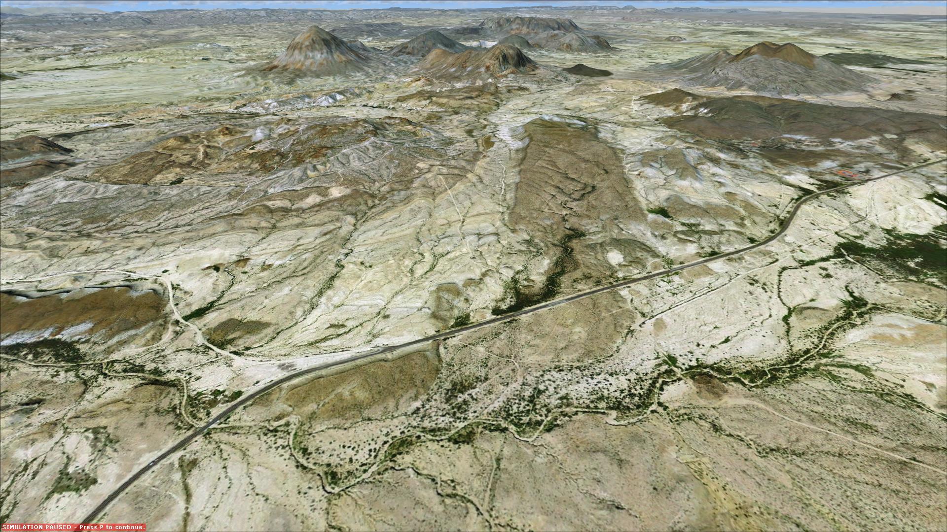
Part 1 of Blue Sky Scenery’s Big Bend National Park covers the western park area and extends west of Big Bend Ranch State Park in Texas. The 3,625 km² coverage combines 1-metre-per-pixel textures with a 10-metre terrain mesh.
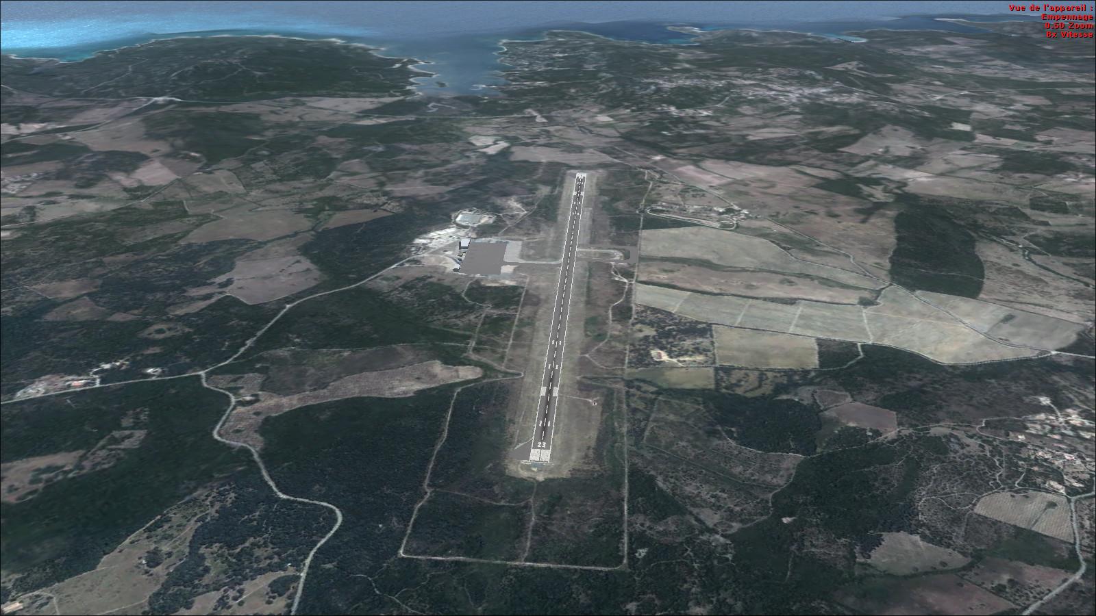
Airport positions have been corrected to match the imagery. Begin at Terlingua Ranch 1E2 or Big Bend Ranch State Park 3TE3. A slow aircraft gives you time to follow the terrain and Chihuahuan Desert landmarks visually.
The imagery comes from the U.S. Geological Survey’s EROS Data Center in Sioux Falls. The package is intended for FSX and Prepar3D. Rikoooo’s installer activates the scenery and restores the previous configuration when it is removed.


Release notes
Licences and credits
- Author
- Blue Sky Scenery
Comments
Flight experiences, tips and questions from Rikoooo members.
Loading discussions…