
Big Bend National Park Part2 FSX & P3D
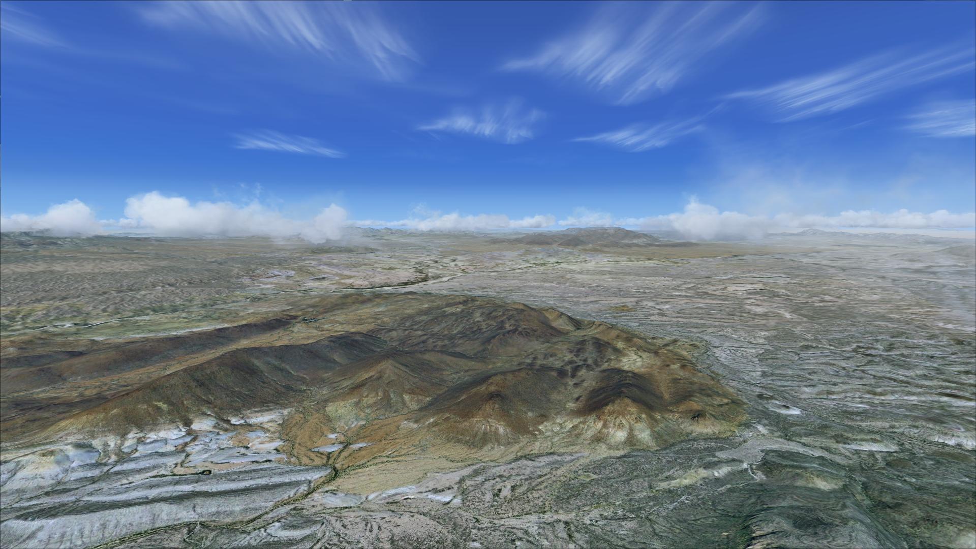
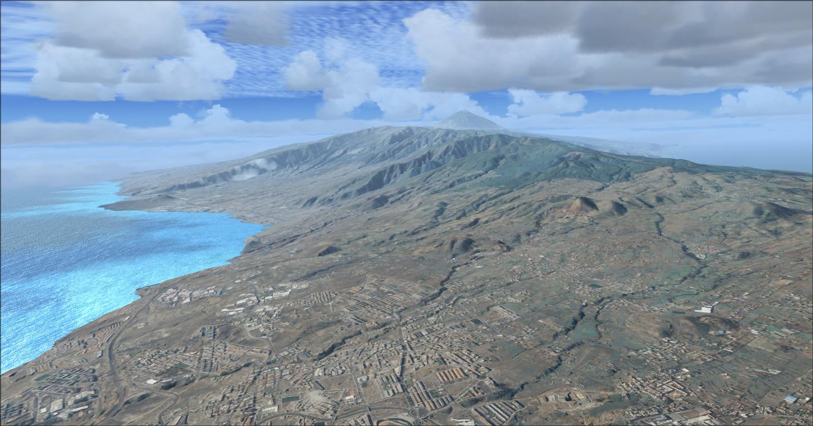
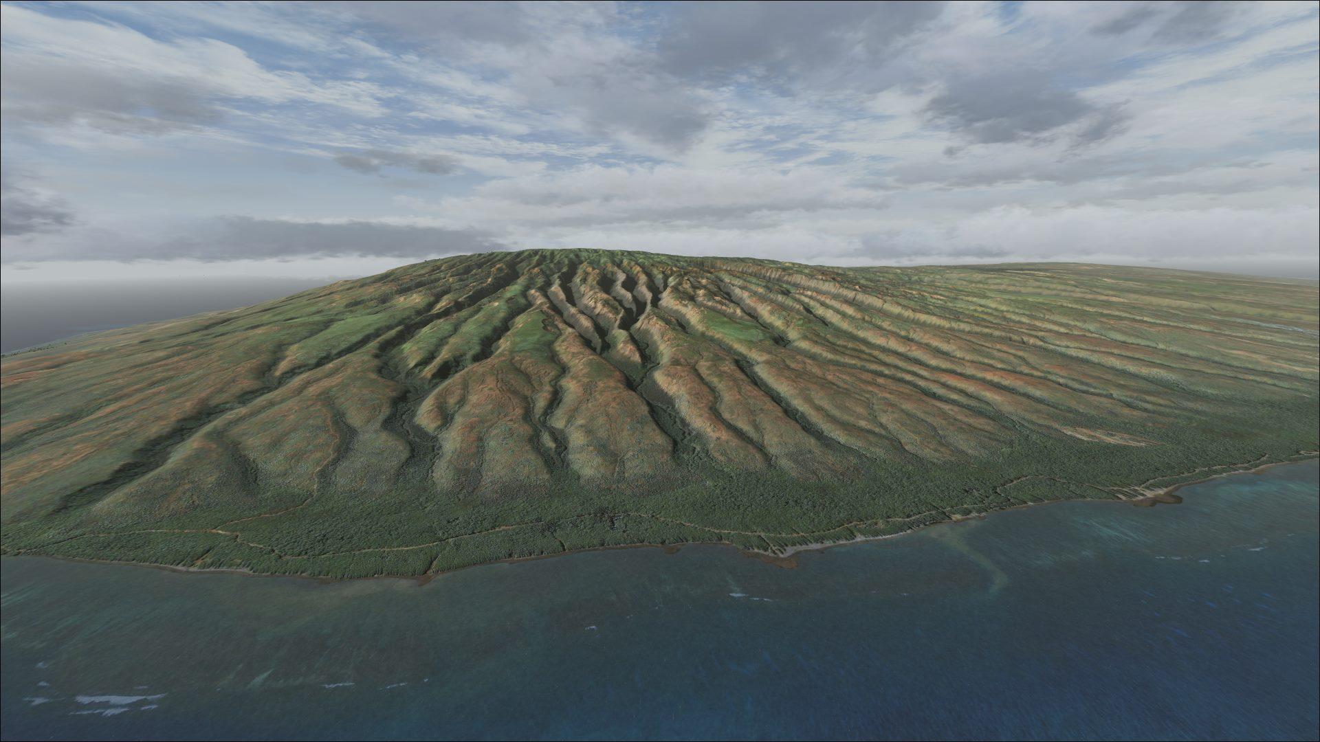
Coverage of the border valley and eastern sector, with 1 m/pixel textures and 10 m terrain mesh. Airport positions have been corrected.
Images and screenshots
4 photosFull screen
On this page
Overview
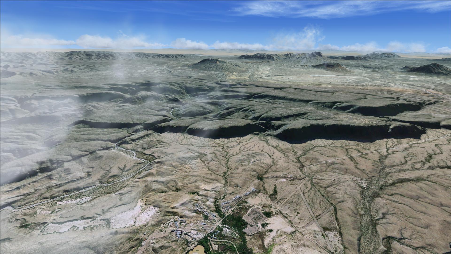
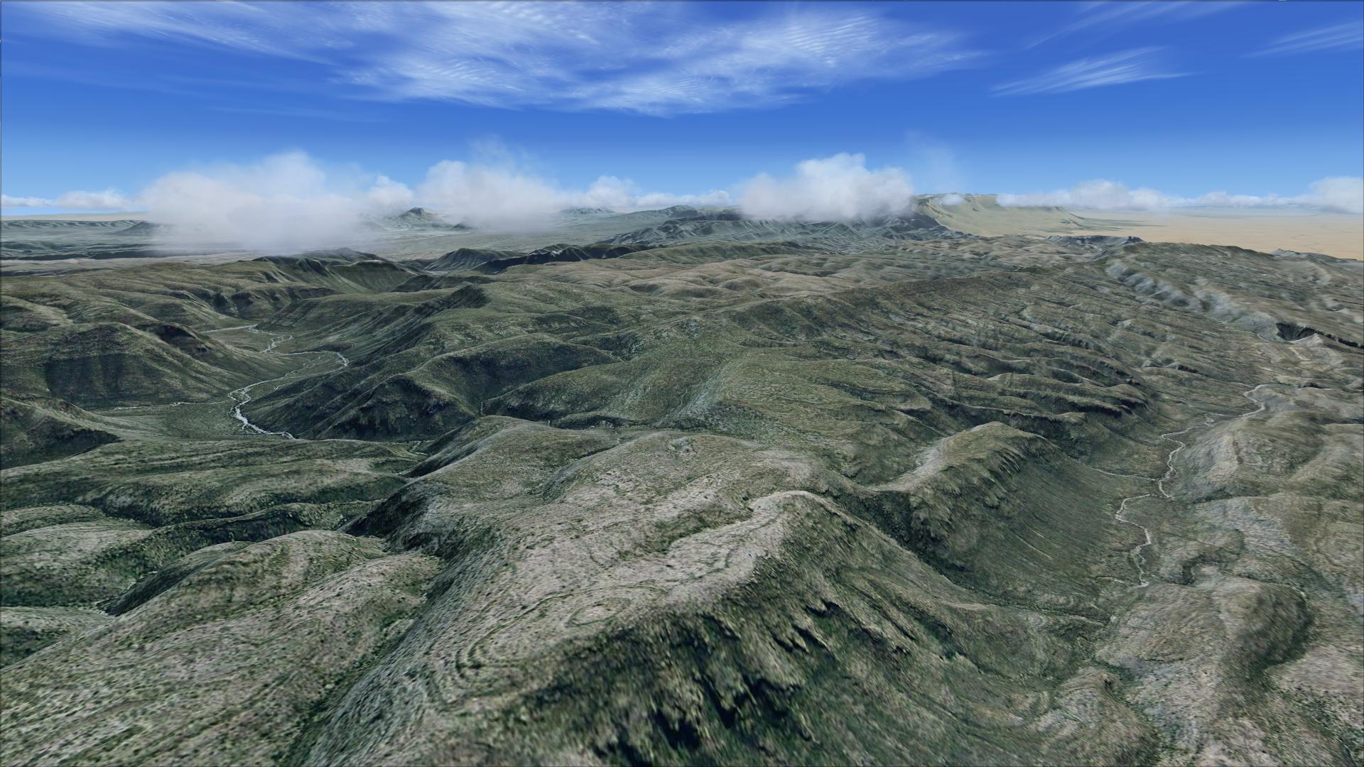
Part 2 of Big Bend National Park covers the eastern park area, the Rio Grande Valley and nearby borderlands, extending a short way into Mexico. Blue Sky Scenery supplies 3,625 km² of photographic textures at 1 metre per pixel, supported by a 10-metre terrain mesh.
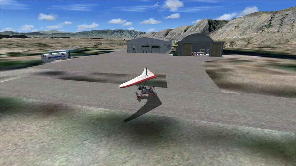
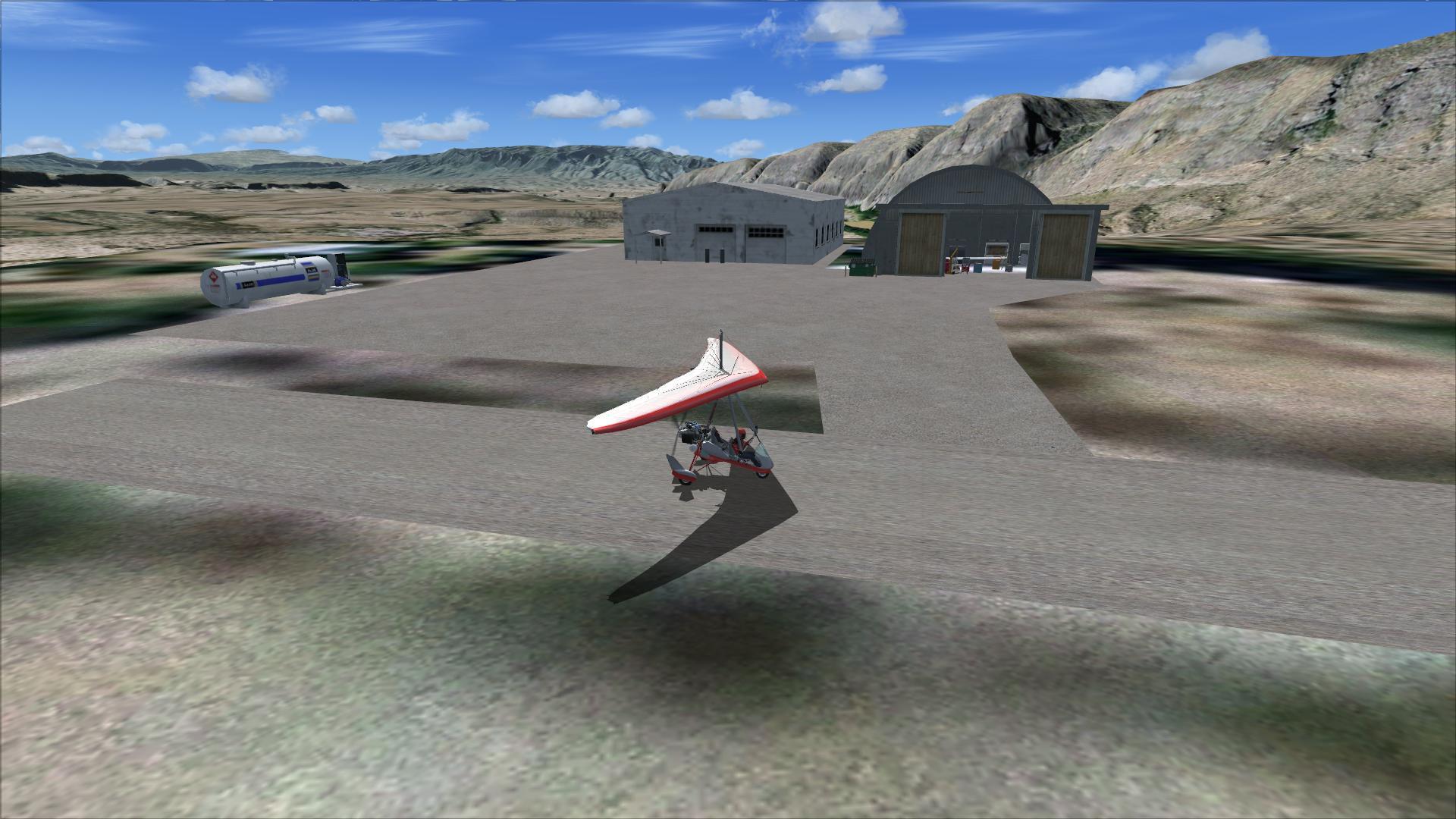
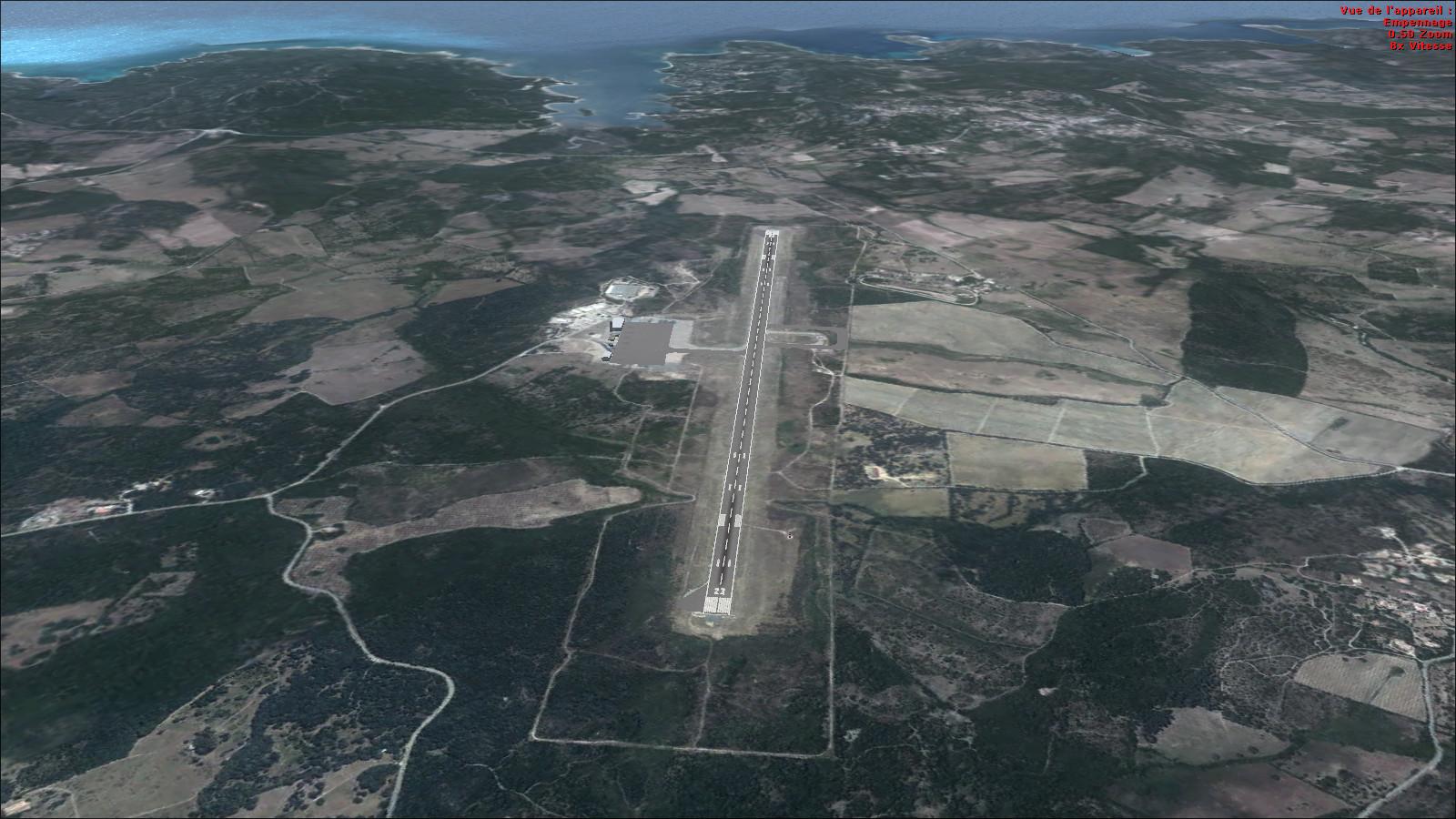
Airport locations have been corrected. The suggested starting airfields are Heath Canyon 1XS7 and Pitcock Rosillos Mountain Ranch 09TS. Following the Rio Grande gives a visual route through this section of the scenery.
The imagery is from the U.S. Geological Survey’s EROS Data Center in Sioux Falls. The package is for FSX and Prepar3D; the Rikoooo installer handles activation and restores the previous scenery configuration on removal.


Release notes
Licences and credits
- Author
- Blue Sky Scenery
Comments
Flight experiences, tips and questions from Rikoooo members.
Loading discussions…