
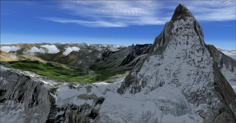
Cervino ID v3 FSX & P3D
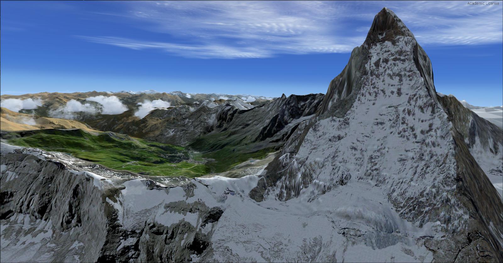
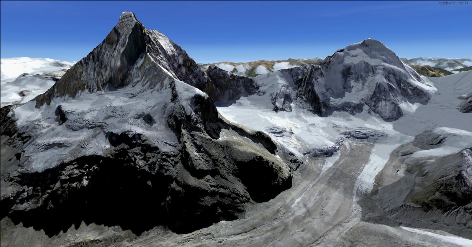
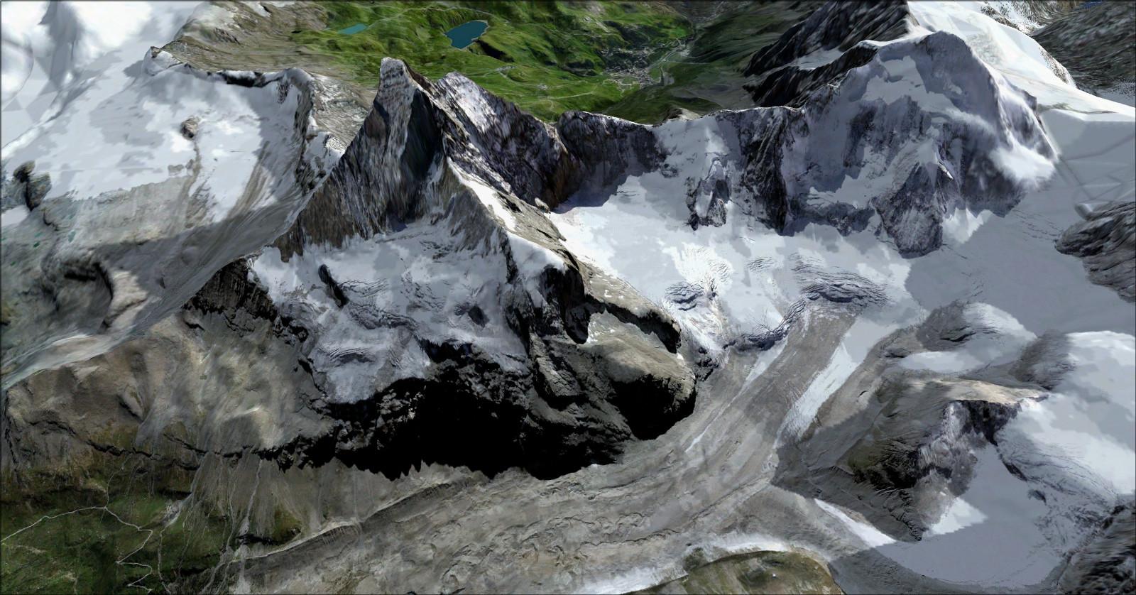
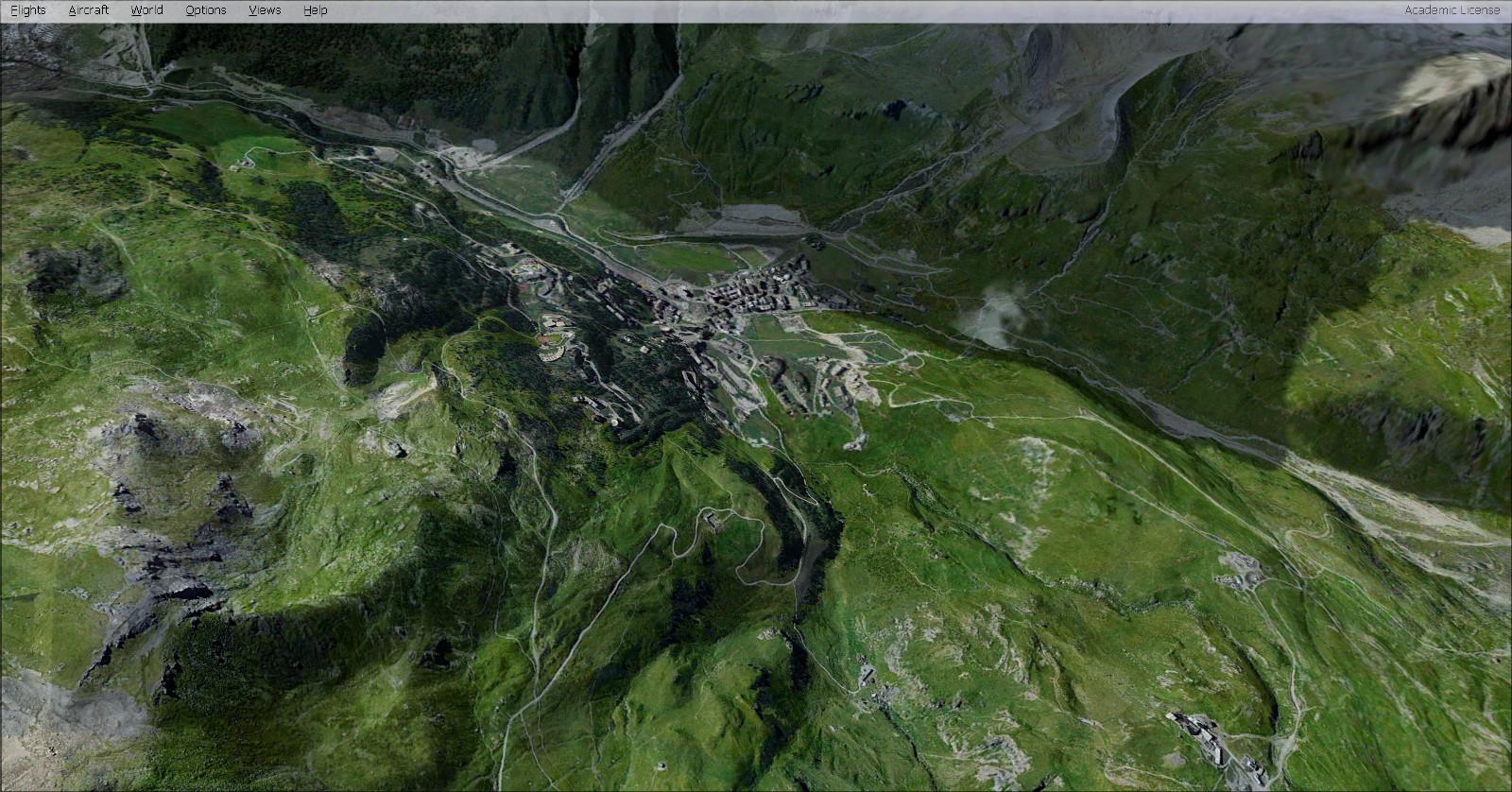
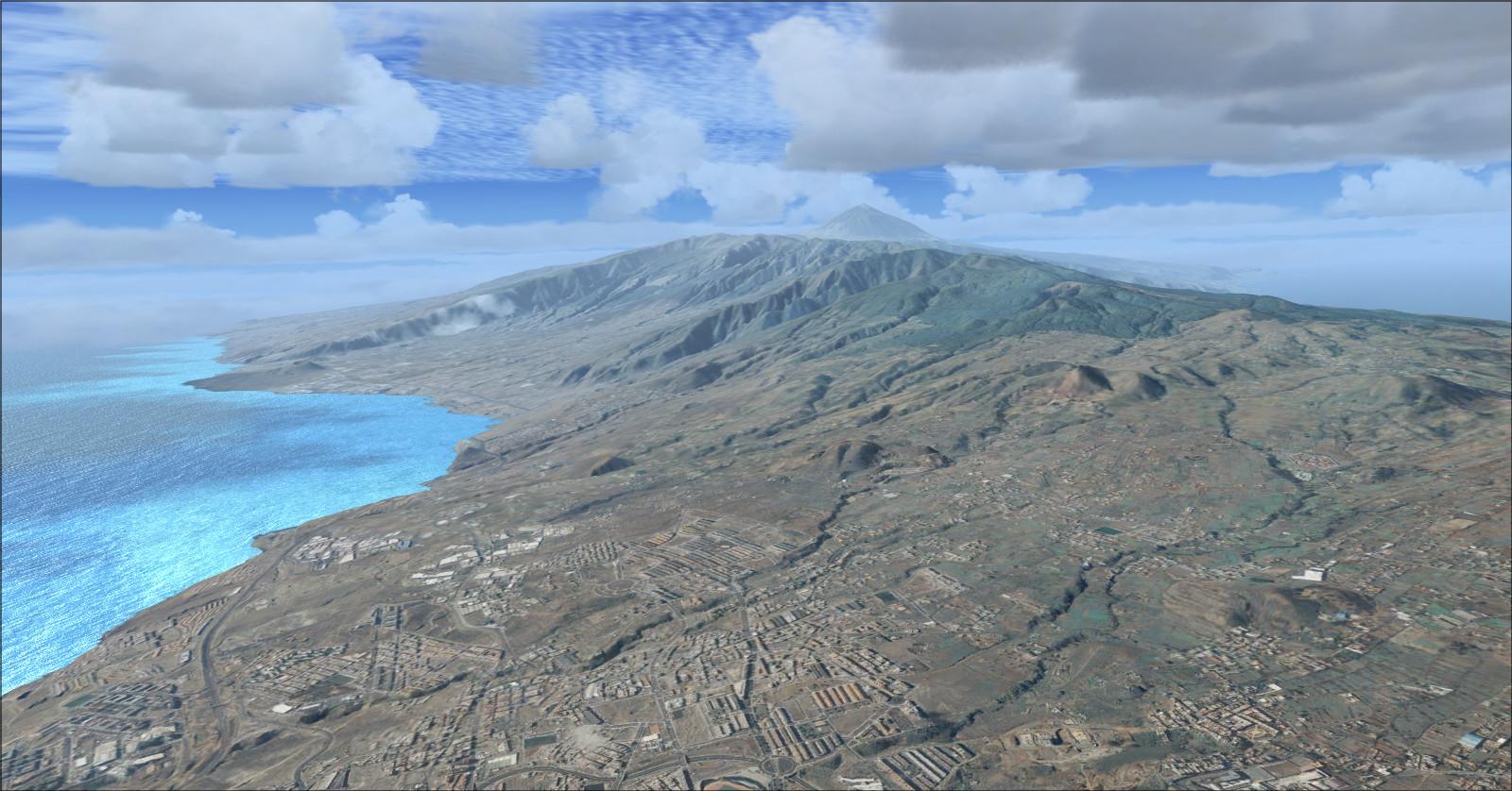
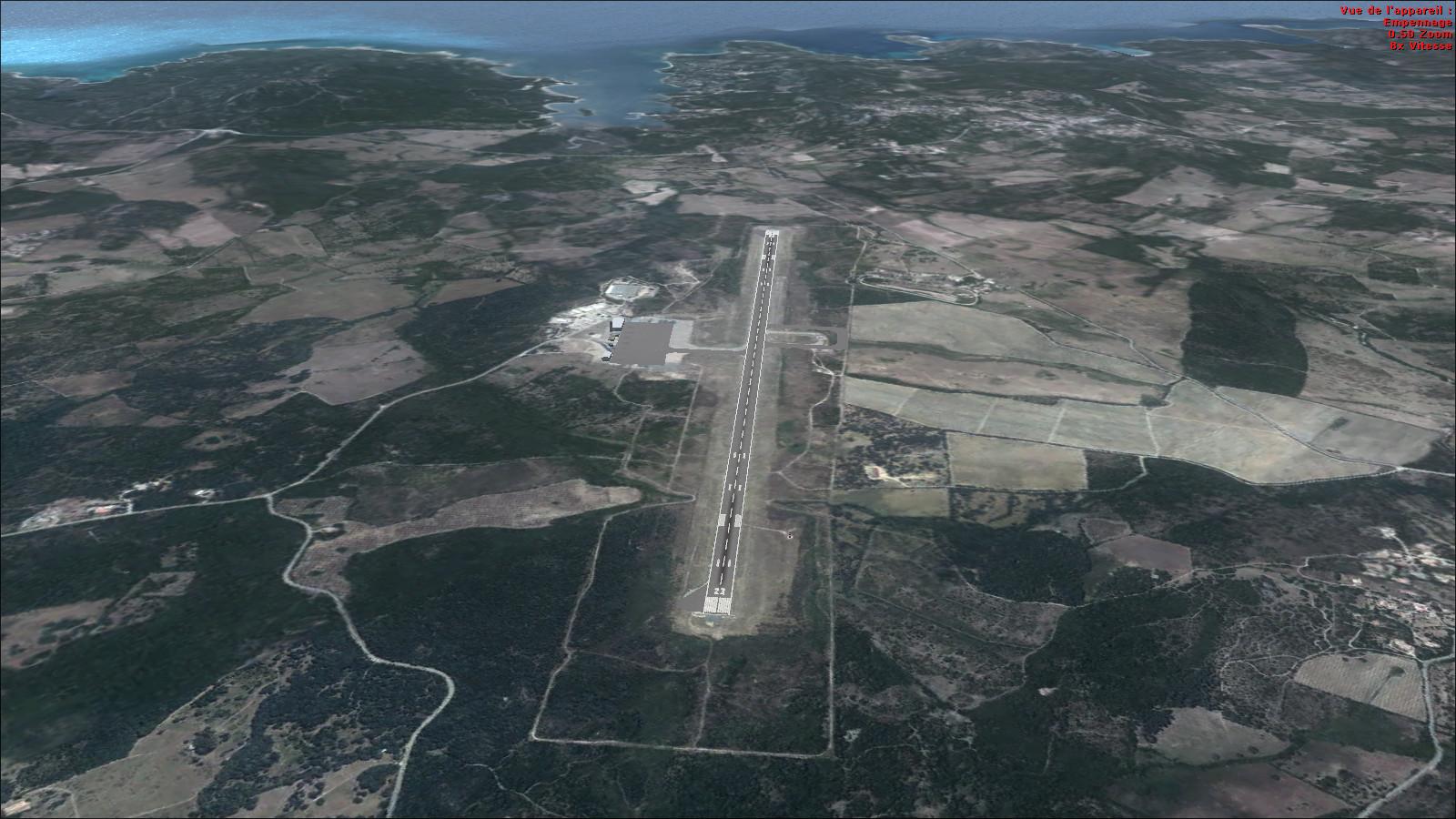
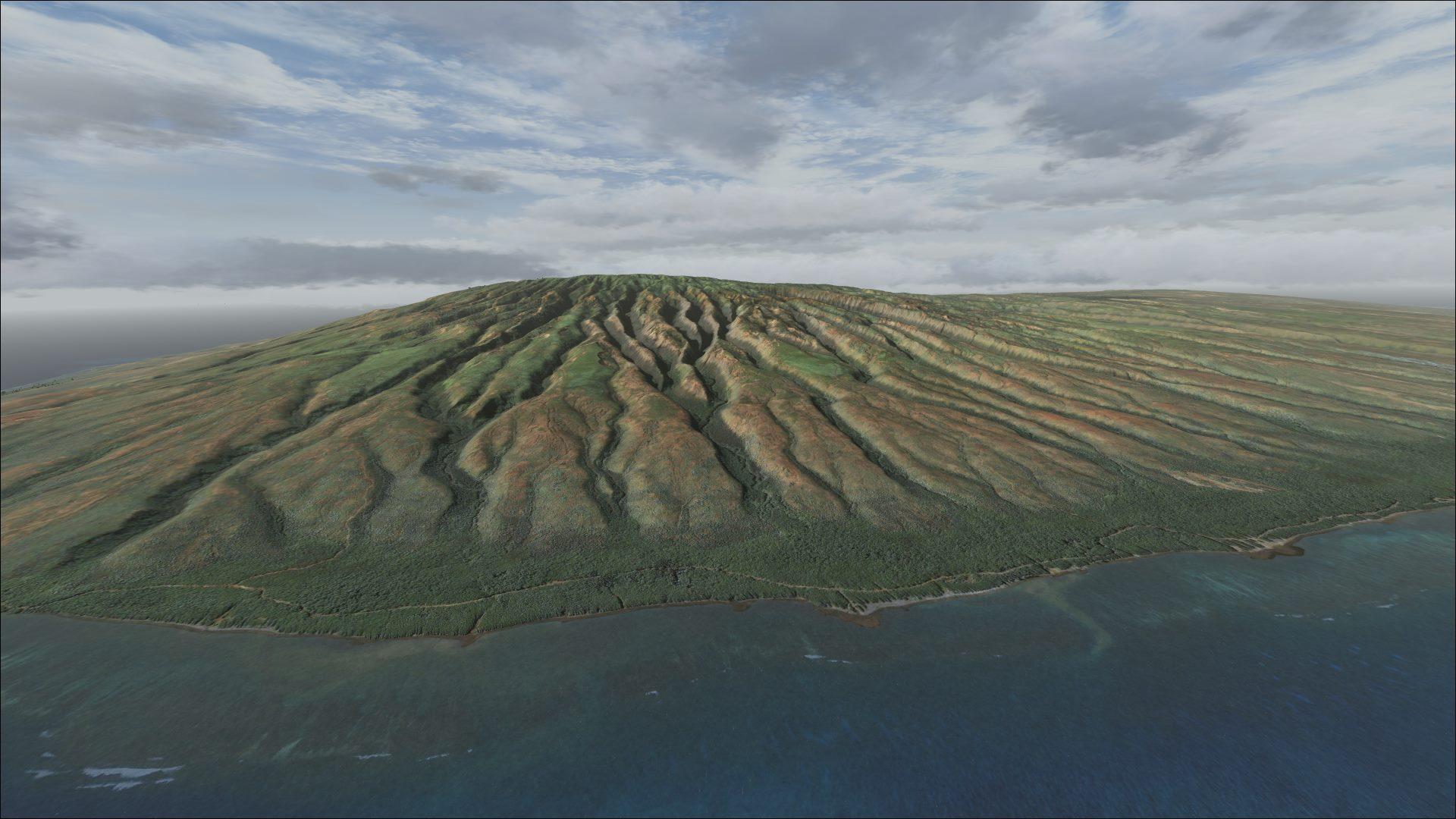
LOD 14 terrain and HD textures cover the summit and its surroundings. Supplied coordinates make it easy to locate this alpine scenery.
Images and screenshots
4 photosFull screen
On this page
Overview
Frank Dainese’s Cervino ID v3 recreates the Matterhorn and its immediate surroundings with photoreal coverage, HD textures and LOD 14 terrain. The 4,478-metre peak lies on the border between Switzerland’s Valais and Italy’s Aosta Valley; its pyramidal outline is a distinctive landmark near Zermatt.
The installer, updated to version 10, registers the scenery automatically in the FSX or Prepar3D scenery library.
Use the coordinates below to locate the summit directly, choosing an altitude above the terrain.
| Latitude : | 45° | 58′ | 35″ | N |
| Longitude : | 7° | 39′ | 30″ | E |
Bern (LSZB), approximately 127 km away, is another possible starting point for a flight to the area.


Release notes
Licences and credits
- Author
- Frank Dainese
Comments
Flight experiences, tips and questions from Rikoooo members.
Loading discussions…