
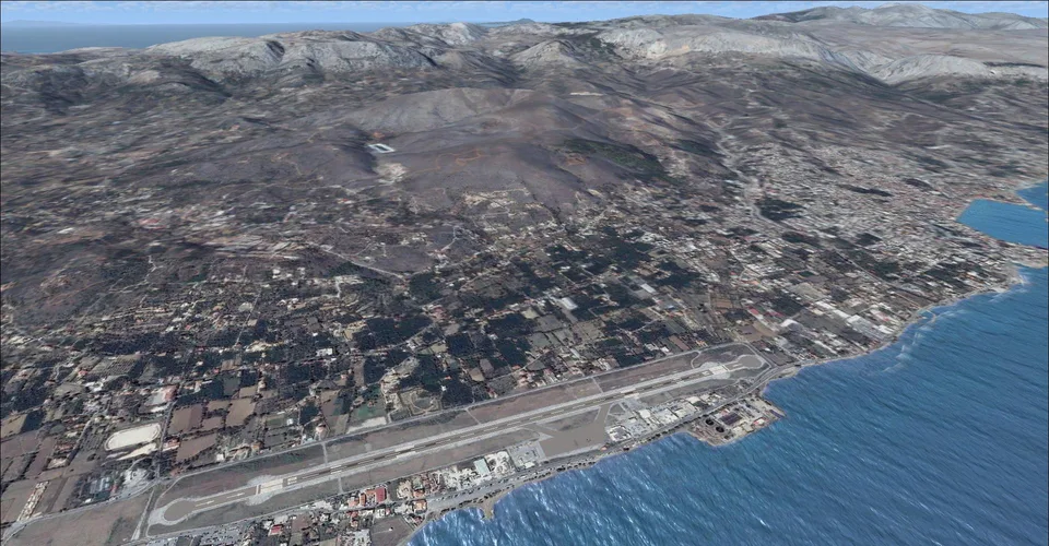
Chios Island LGHI Photoral FSX & P3D
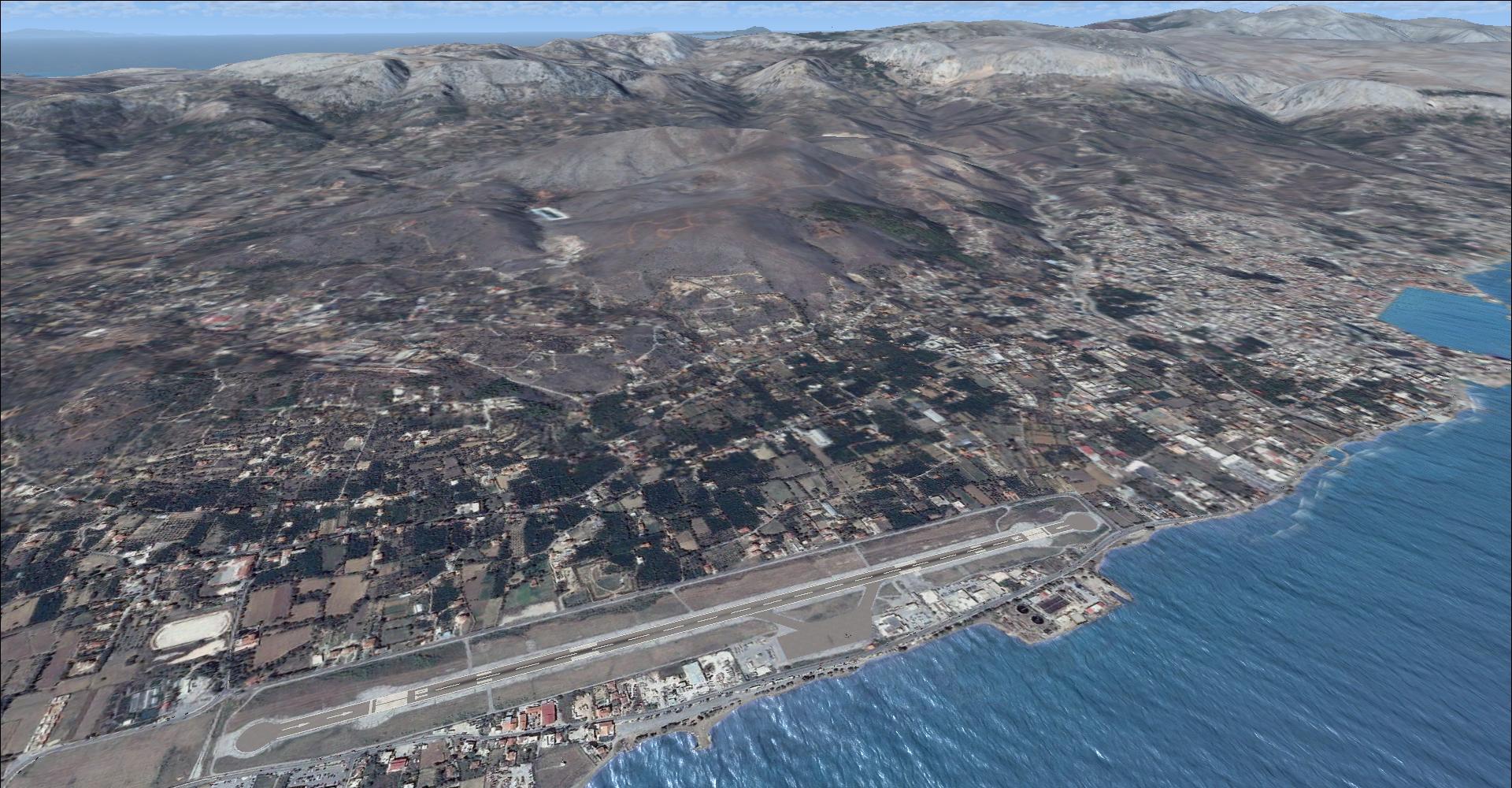
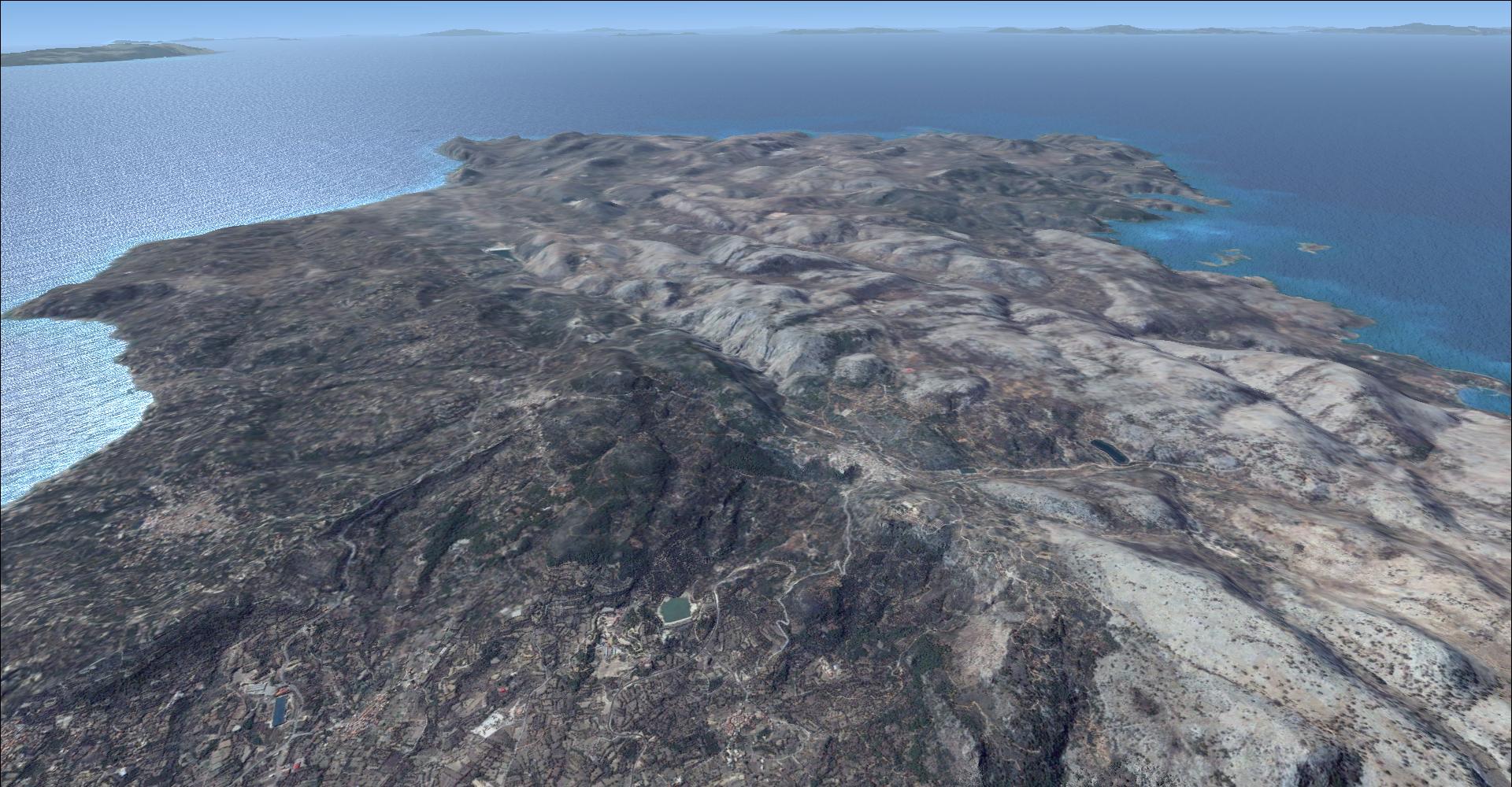
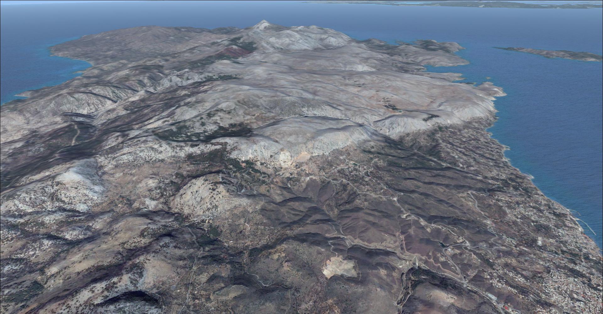
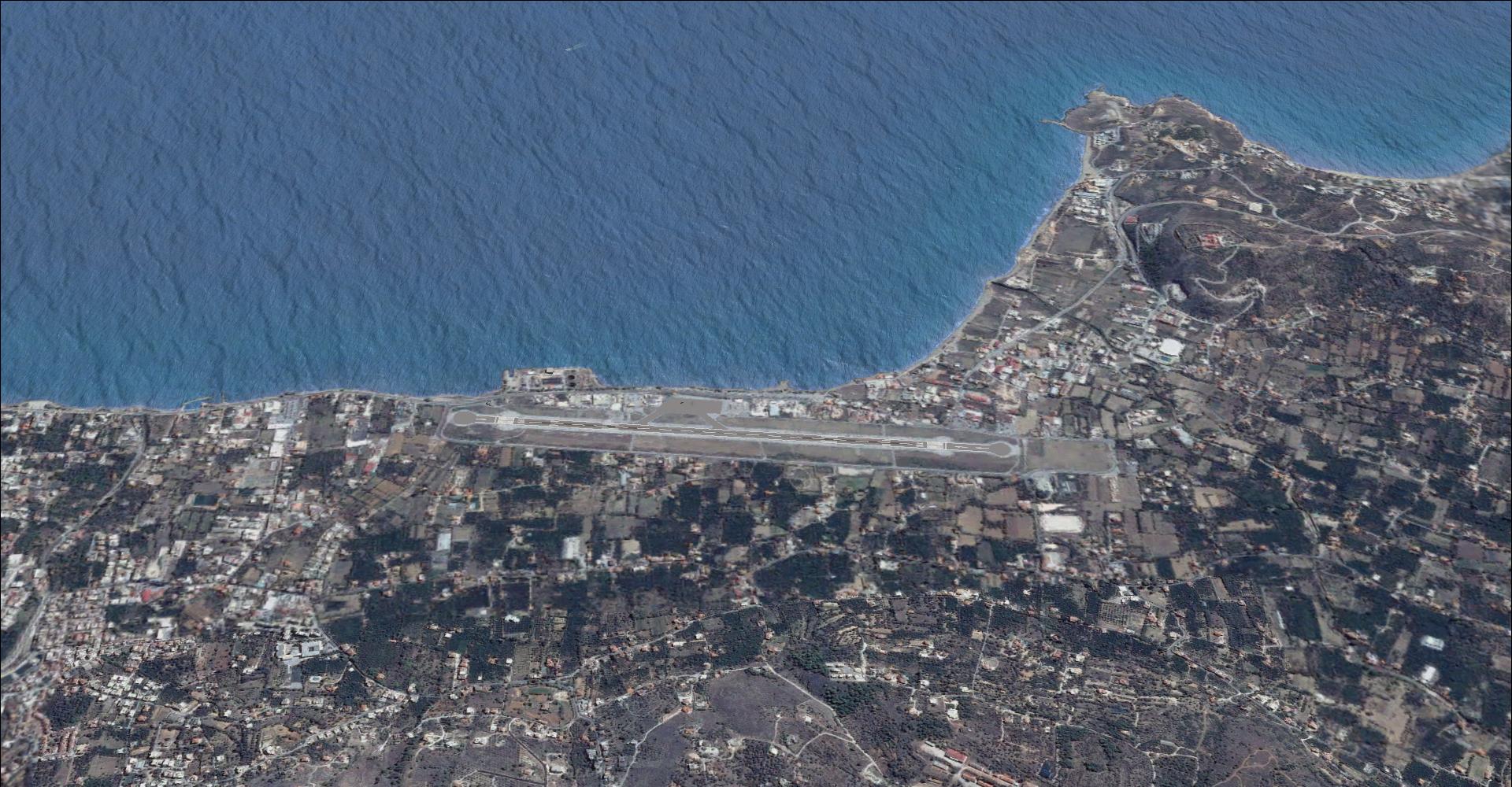
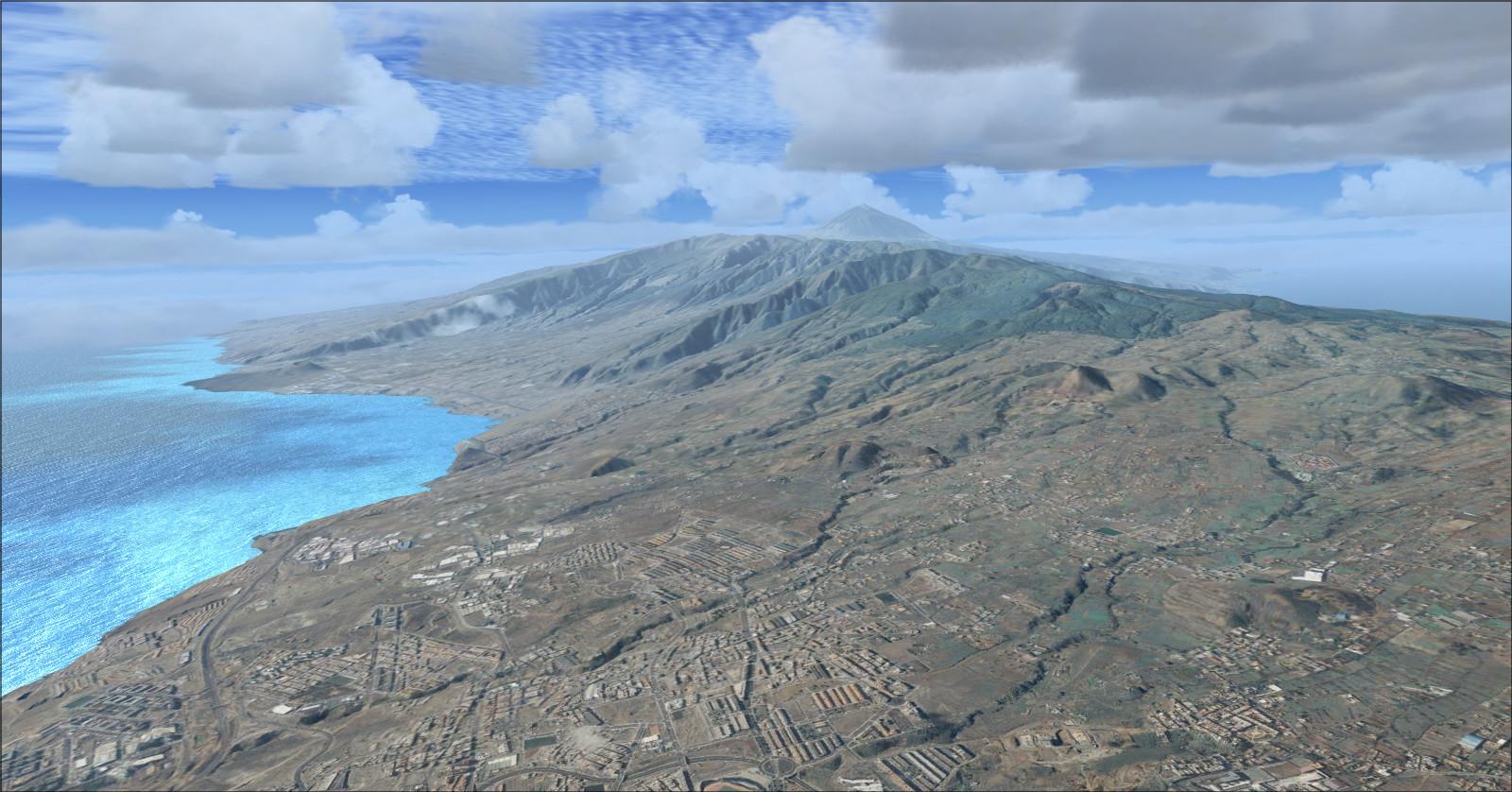
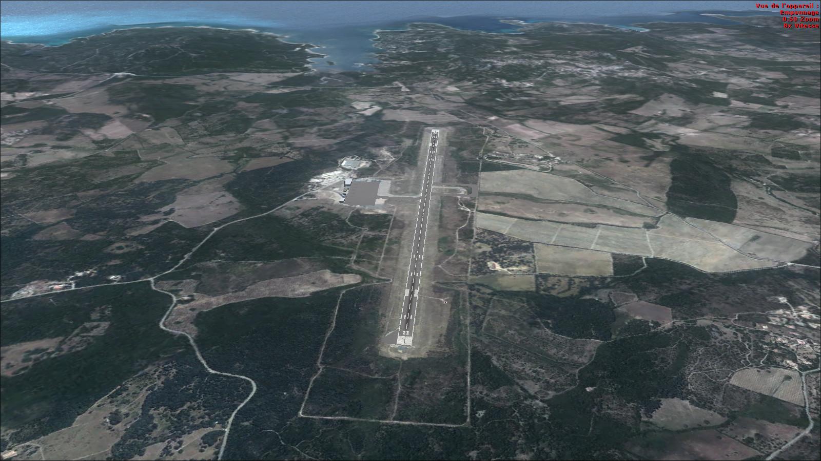
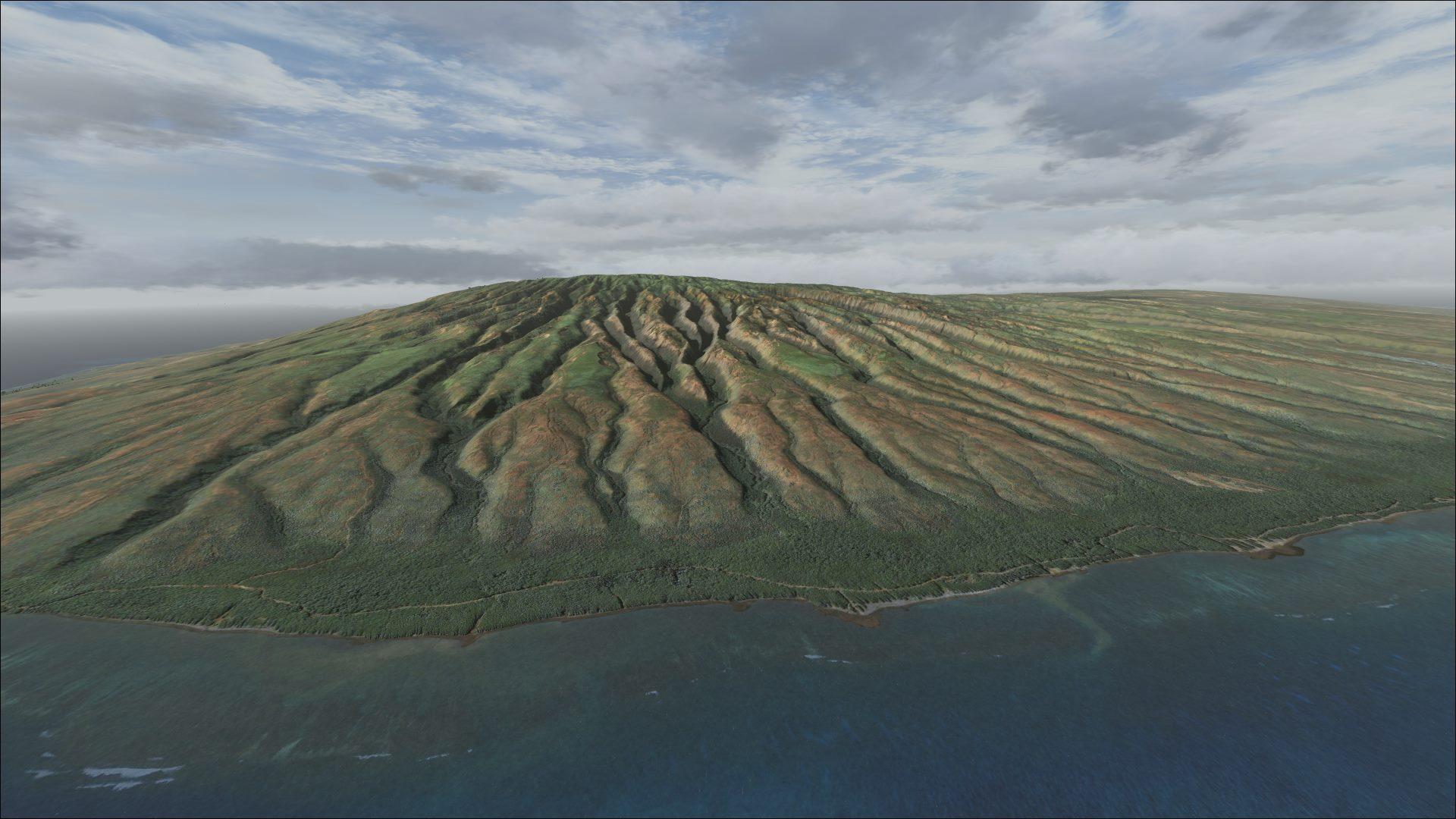
Photo textures cover the whole island, with terrain mesh for Greece and revised coastlines. Use LGHI as the starting point for your flights.
Images and screenshots
4 photosFull screen
On this page
Overview
This Chios scenery by Dimitris Ntaskas, Yiannis Dermitzakis and The Hellas Scenery Team covers the entire Greek island with photoreal textures. Select airport LGHI to start a flight there.
The download also includes LOD9 terrain mesh, approximately 76 m, for all of Greece, together with revised coastlines for Greece and part of Turkey. The elevation coverage therefore extends beyond the photo textures for Chios itself.
The island is only a few kilometres from the Turkish coast. Its position and the revised shoreline provide references for visual flights over the Aegean, with LGHI as a base for regional routes.


Licences and credits
- Author
- Dimitris Ntaskas, Yiannis Dermitzakis, The Hellas Scenery Team
Comments
Flight experiences, tips and questions from Rikoooo members.
Loading discussions…