
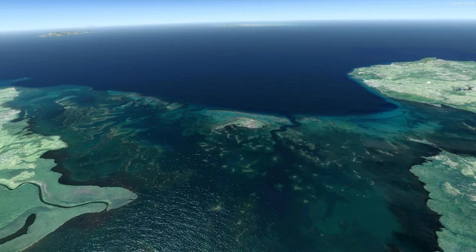
The Guadeloupe Free for P3Dv4
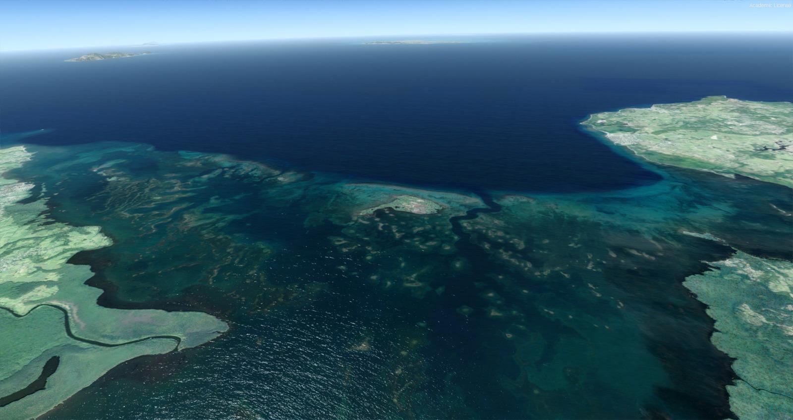
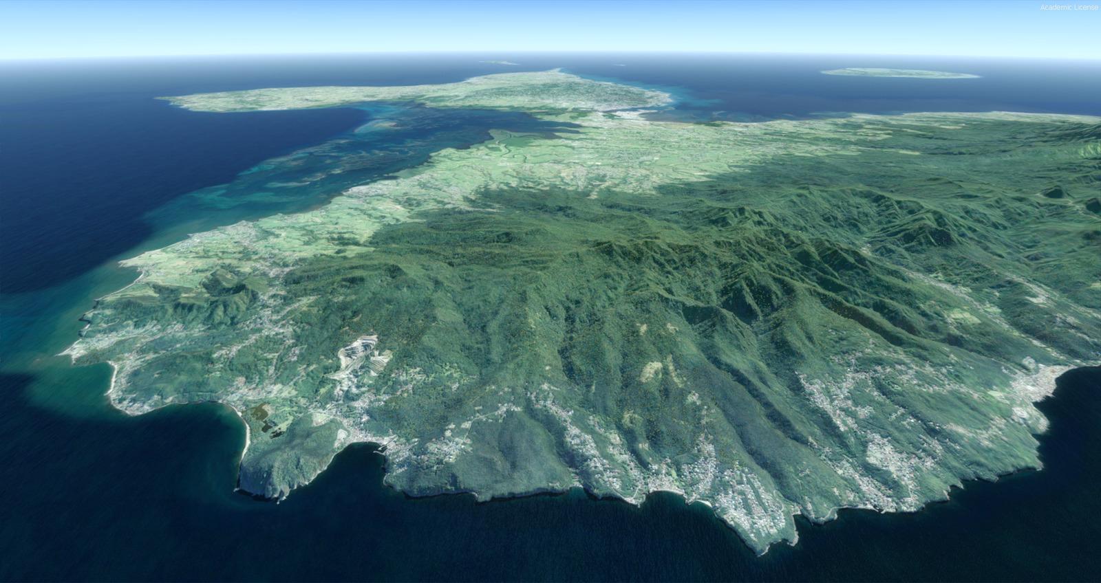
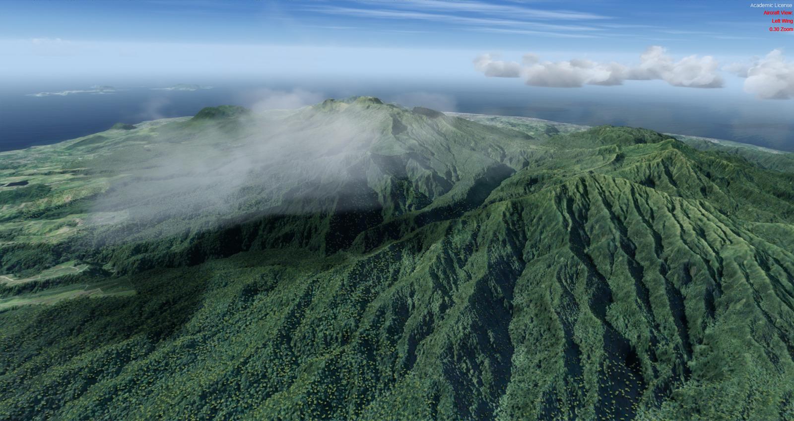
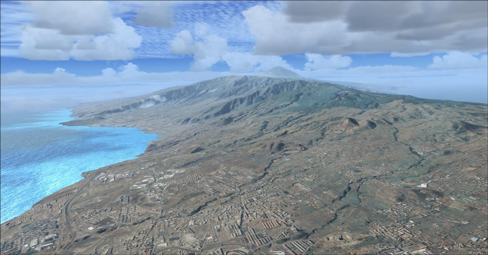
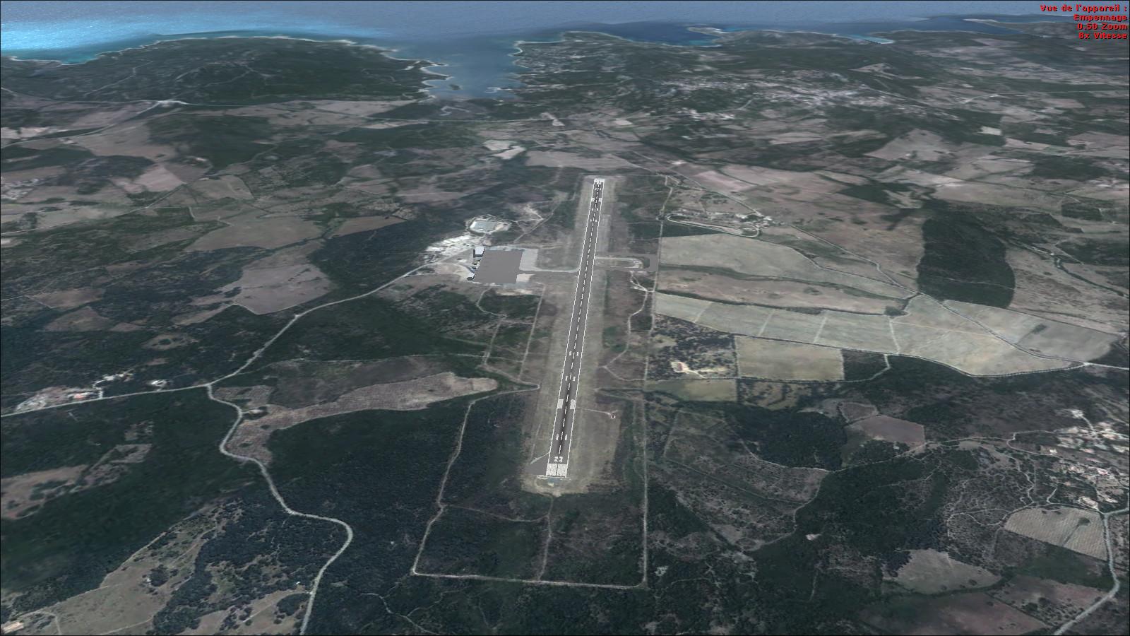
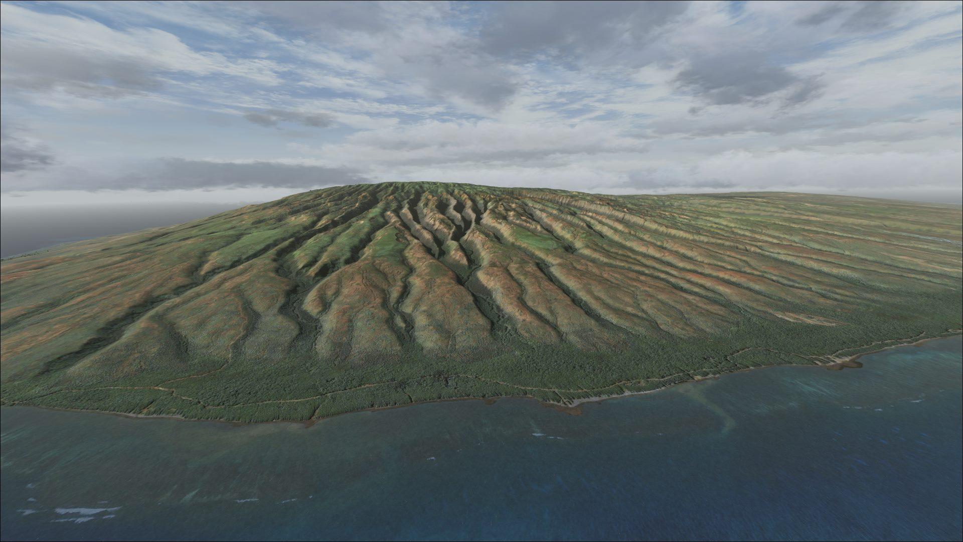
50 cm/pixel imagery, refined to 20 cm over airfields and La Soufrière, with autogen and detailed terrain. Includes Taxi2Gate coexistence instructions.
Images and screenshots
4 photosFull screen
On this page
Overview
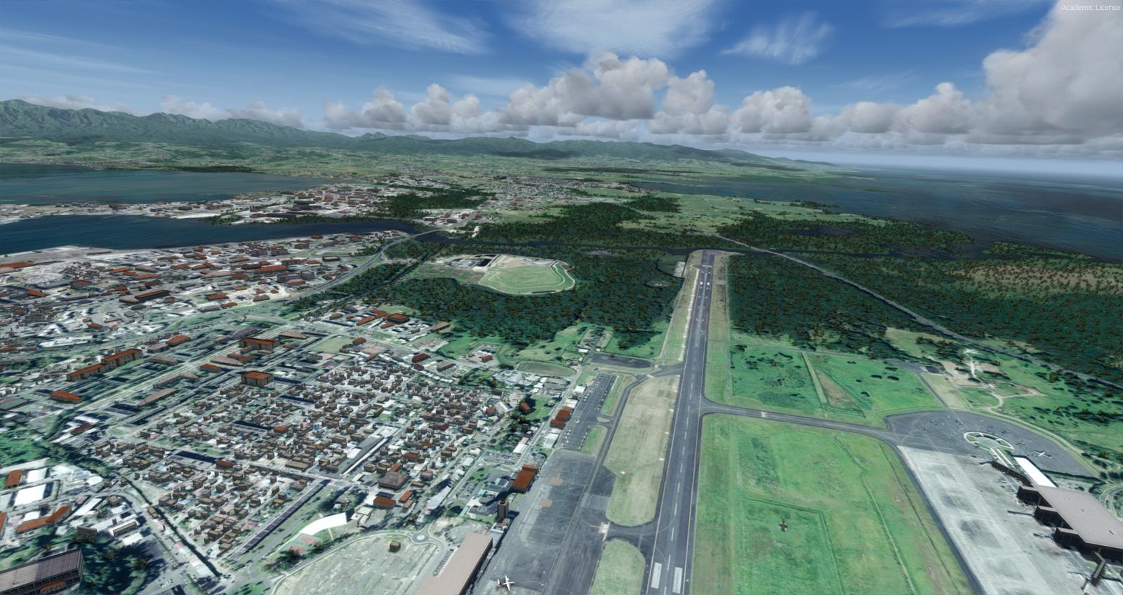
Patrick Dubois’s freeware Guadeloupe scenery is for Prepar3D v4 and is distributed on Rikoooo with his permission. It includes forest and residential autogen, detailed terrain and several 3D objects. Pôle Caraïbes Airport, code TFFR, provides a starting point for exploring the islands.
Imagery is at 50 cm per pixel, increasing to 20 cm per pixel over airfields and the La Soufrière massif. The stated terrain resolution is 1 metre for data above sea level and 100 metres for bathymetry, the underwater terrain.
The download is 9.80 GB. Extract every file from the_guadeloupe_free_for_p3dv4.zip into a temporary folder, then run the_guadeloupe_free_for_p3dv4.exe and follow the instructions.
Using Taxi2Gate Pointe-à-Pitre Le Raizet TFFR
To avoid overlap with this airport scenery, make the following renames:
- In
Scenery / World / Scenery /, renameTFFR_ADEP4_ADE.bgltoTFFR_ADEP4_ADE.xxx. - In
Scenery Rikoooo / The Guadeloupe Free for P3Dv4 / the_guadeloupe_free_for_p3dv4 / Scenery /, renameAirport.bgltoAirport.xxxandLandclass.bgltoLandclass.xxx. - In the same folder, rename
TFFR-OBJ-bridge.bgltoTFFR-OBJ-bridge.xxx.


Licences and credits
- Author
- Patrick Dubois
Comments
Flight experiences, tips and questions from Rikoooo members.
Loading discussions…