
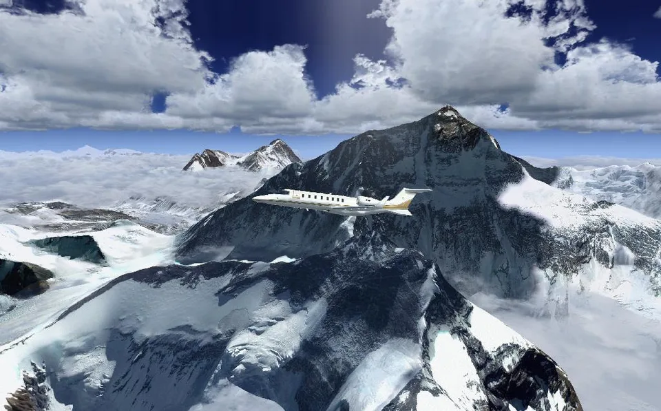
Photoreal Mt Everest plus Mesh FSX & P3D
Photographic textures and mountain terrain, with coverage maps and a route from Lukla. Installation and restoration of the original scenery are automated.
Images and screenshots
4 photosFull screen
On this page
Overview
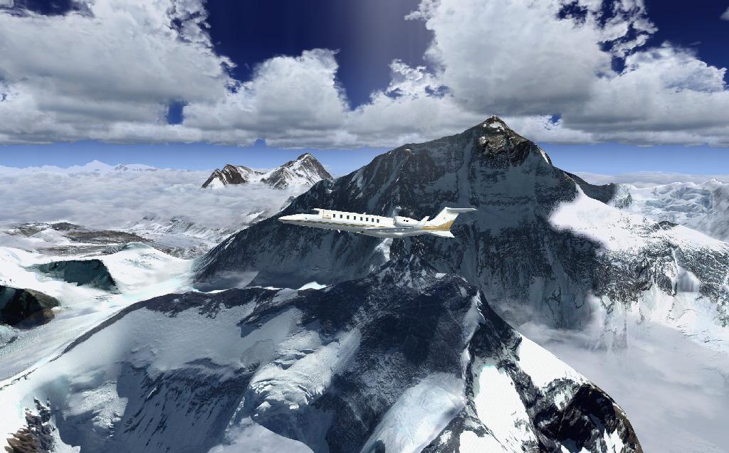
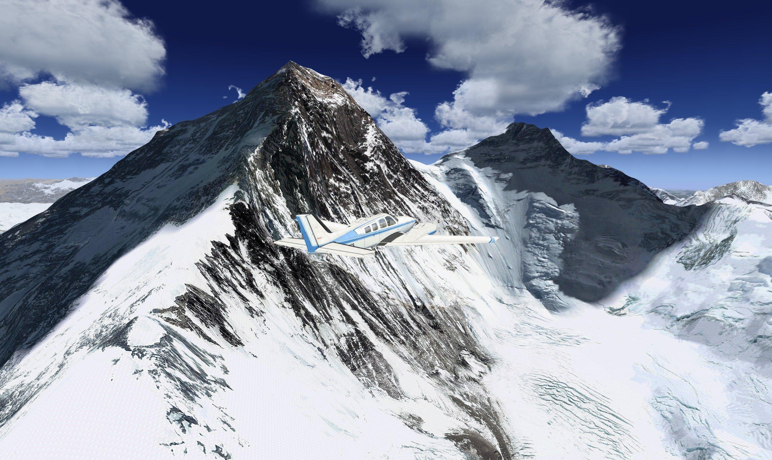
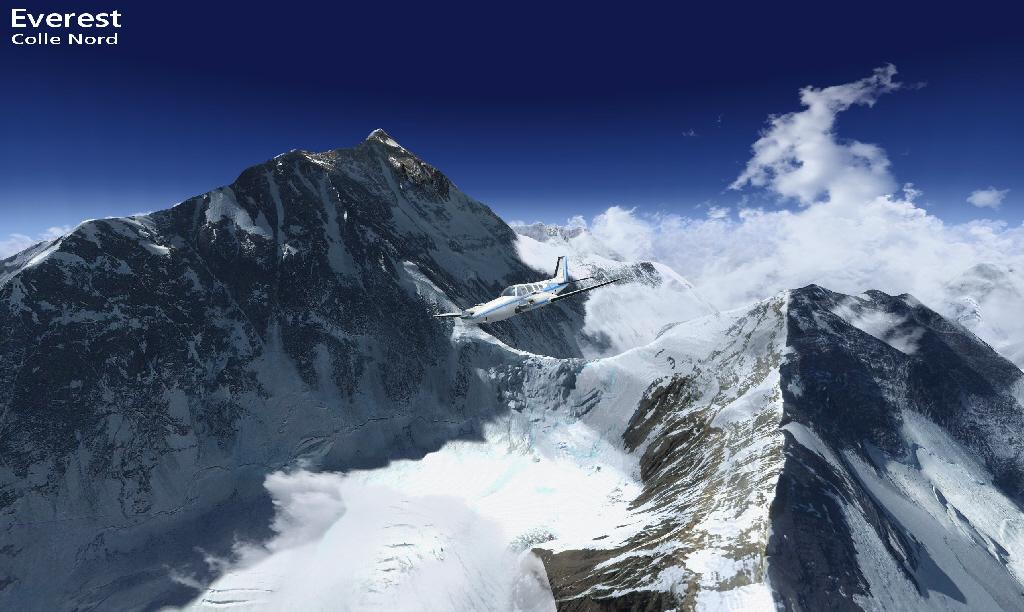
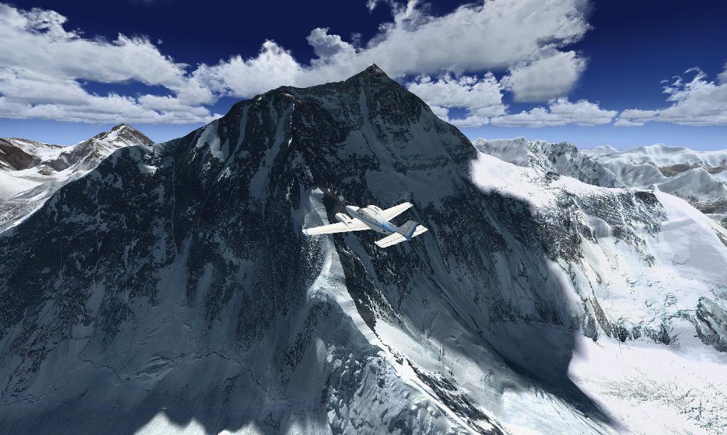
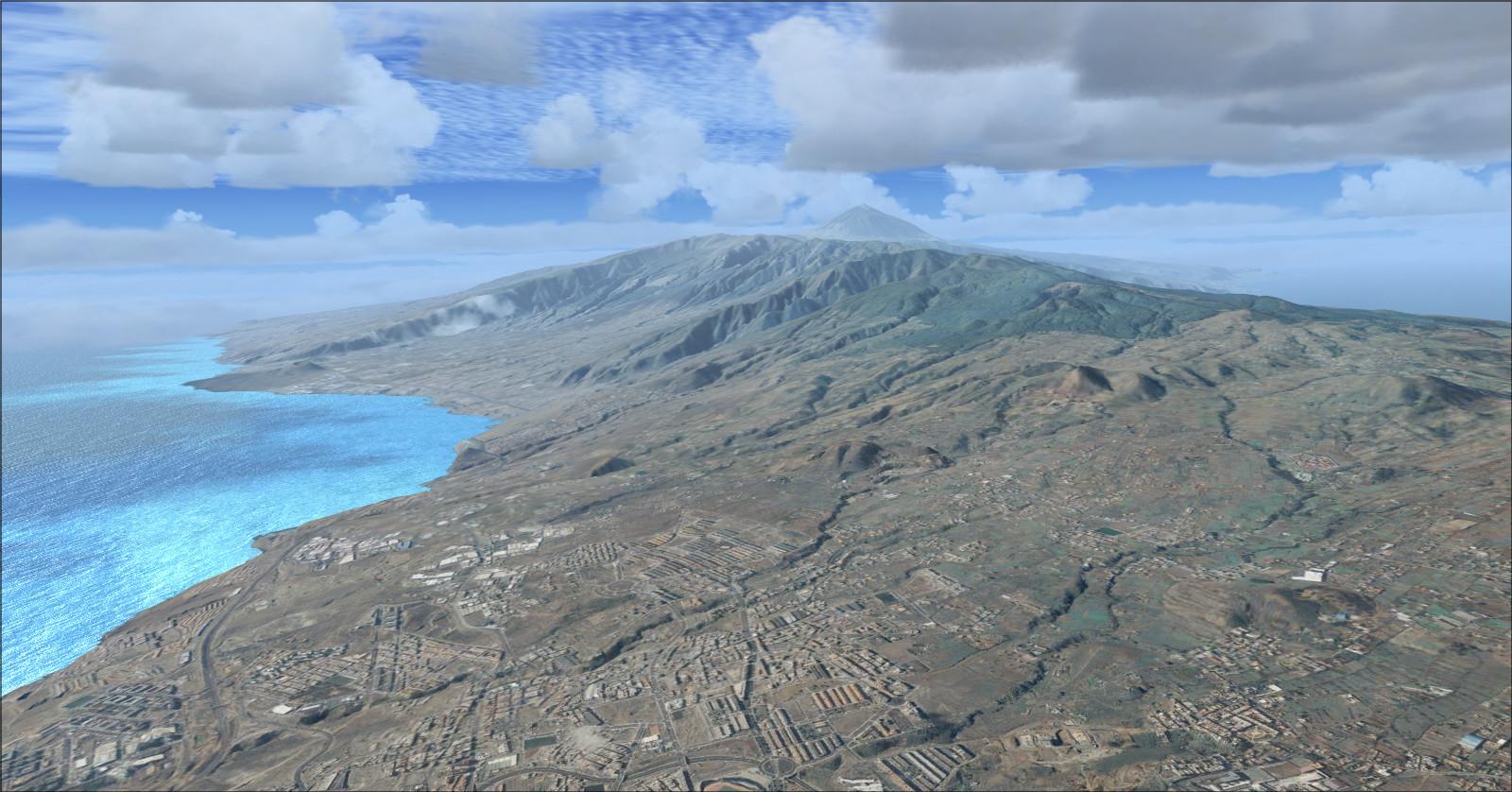
Frank Dainese and Daniele Tona’s scenery combines photographic textures of Mount Everest with terrain mesh by Ferranti and Sandmann. It depicts the mountain and surrounding Himalayan valleys in FSX and Prepar3D.
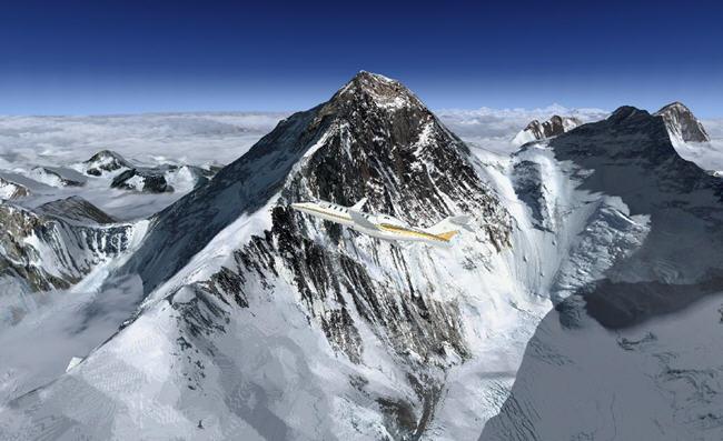
The video previews the scenery’s mountain landscape.
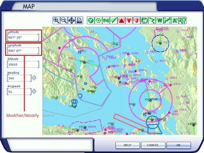
The map below shows the photographic coverage. The figures 27–28° N / 86–87° E for Everest and 26–28° N / 85–92° E for the Everest–Kula Kangri sector describe geographic extents, not a single position to enter.
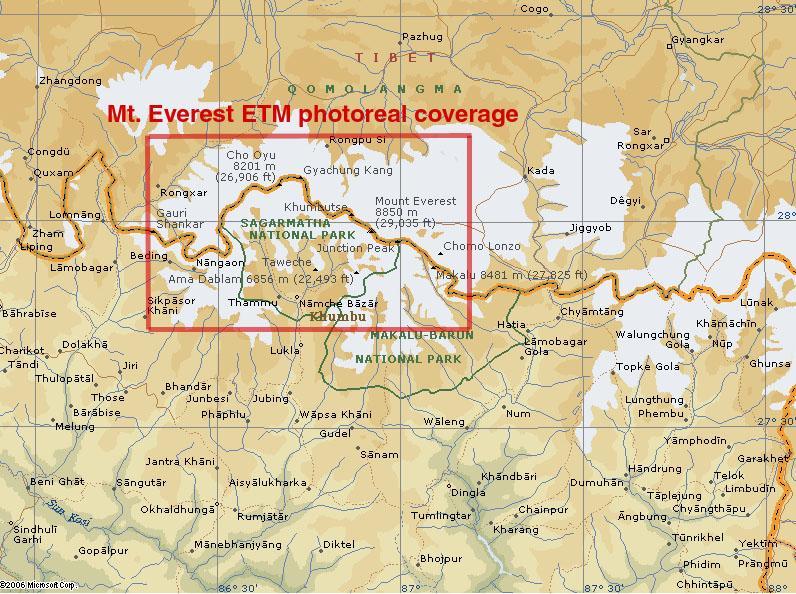
Documents and illustrations are available under Start → Rikoooo Add-ons → Photoreal Mt Everest plus Mesh FSX & P3D → documents and pictures. The installer registers and activates the scenery; uninstalling restores the original scenery configuration. The listed package download is 524 MB.
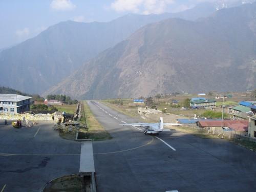
You can reposition the aircraft using the simulator’s map. An easier way to explore the scenery is to select Lukla as your departure airport.
In Nepal’s Khumbu region, Lukla provides access to the valleys near Everest. Its short, sloping runway and mountainous surroundings make it a fitting departure point for a small mountain aircraft.
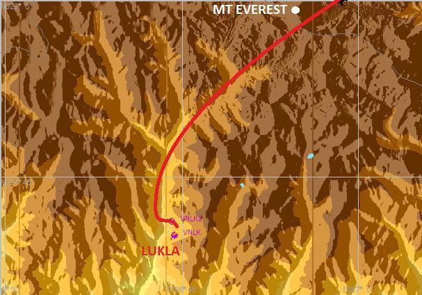
After departure, follow the right turn and the route towards Everest drawn on this map.
Licences and credits
- Author
- Frank Dainese , Daniele Tona + Large mesh by Ferranti & Sandmann
Comments
Flight experiences, tips and questions from Rikoooo members.
Loading discussions…