
Sardinia Photoreal FSX & P3D part1
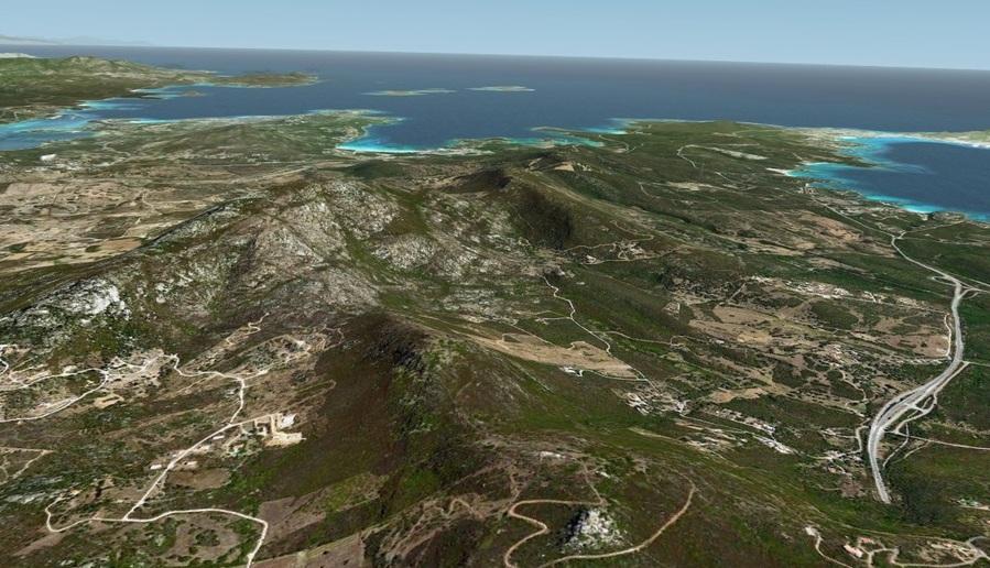
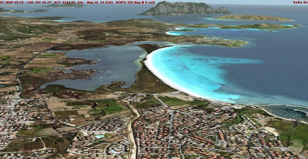
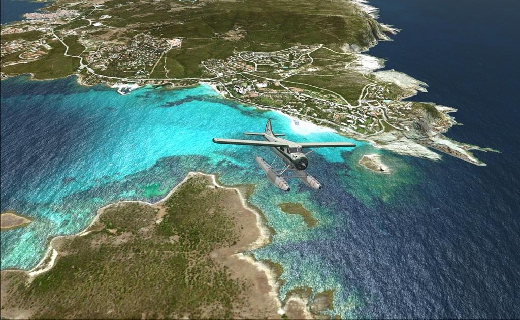
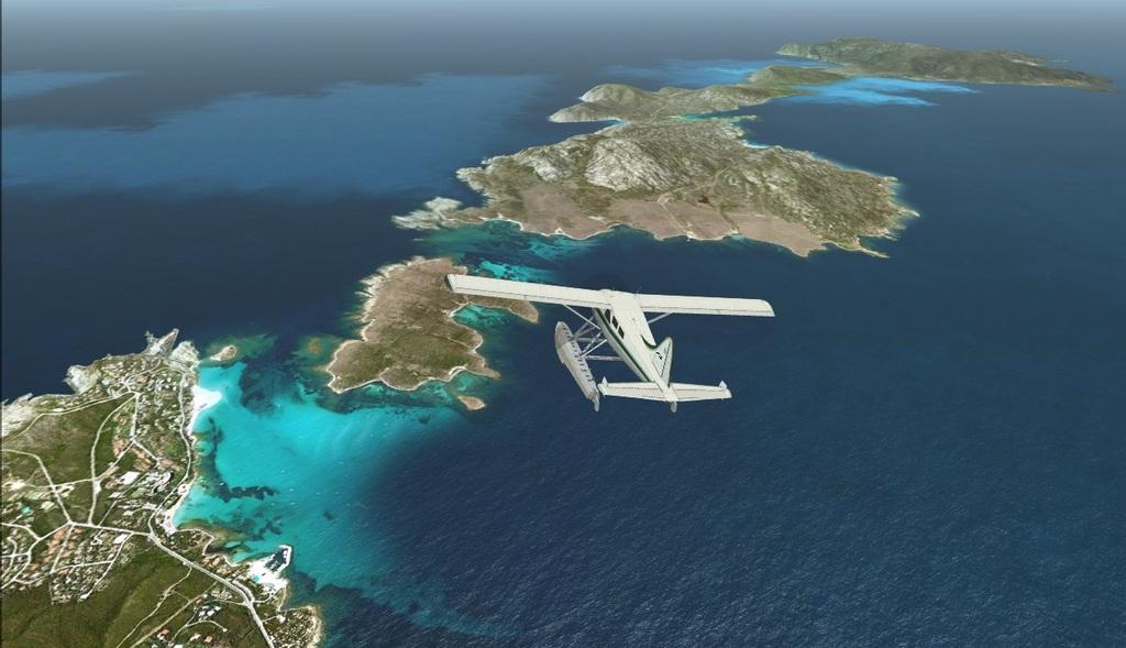
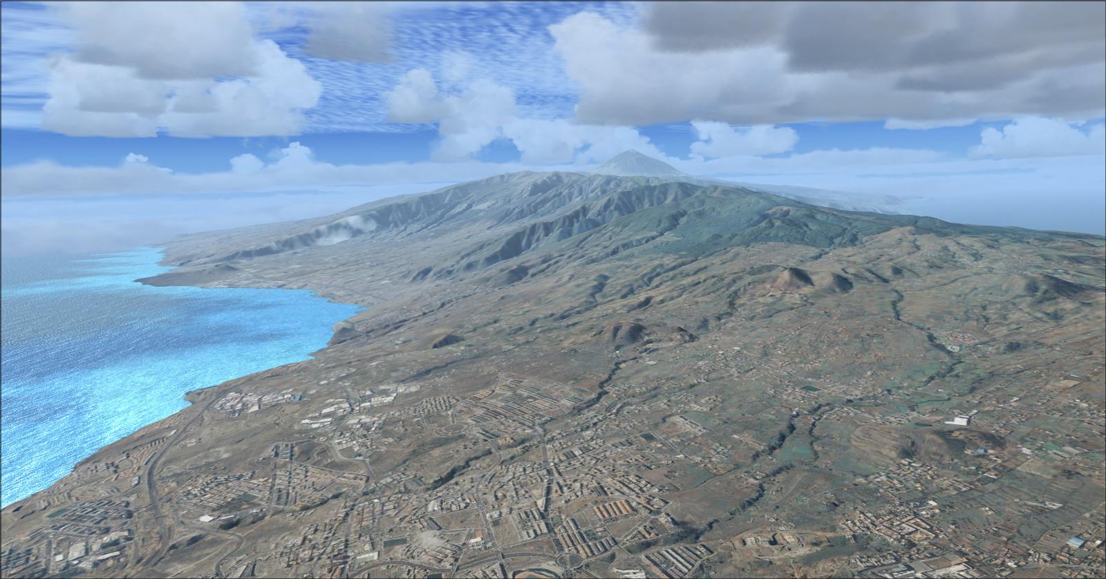
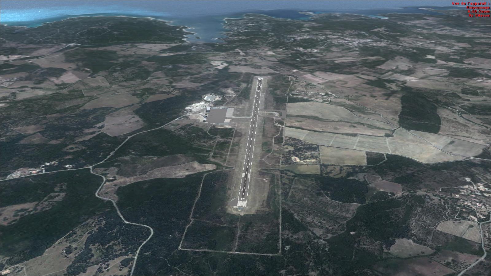
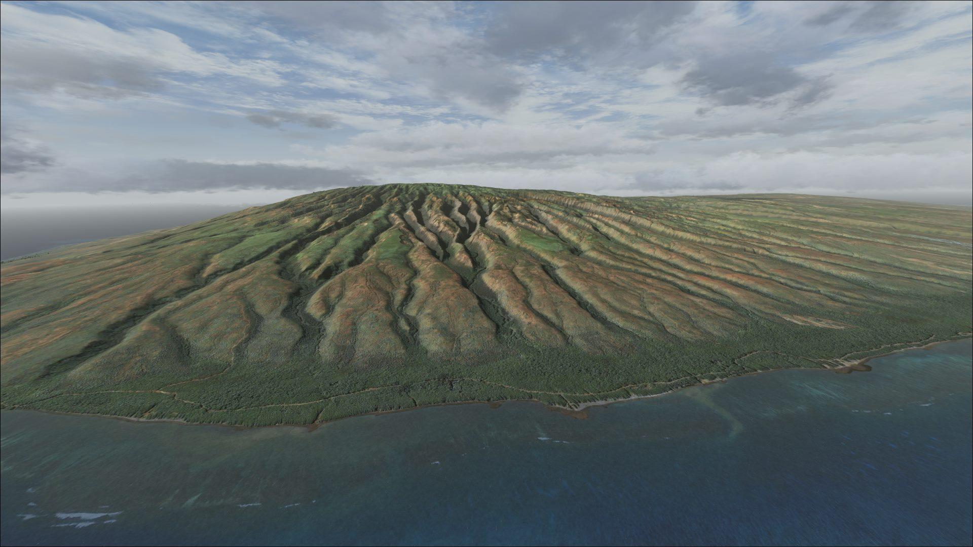
Costa Smeralda, Olbia and La Maddalena receive 2.38 m-per-pixel photo coverage with terrain mesh. The four scenery sections can be used independently.
Images and screenshots
4 photosFull screen
On this page
Overview
Part 1 of Diego Paparella’s photoreal Sardinia covers Costa Smeralda, Olbia and LIEO airport, Arzachena, San Teodoro, Tempio Pausania, the Gulf of Asinara and La Maddalena. It is made for FSX and Prepar3D v1 or v2.
Created with FSET, the full scenery is divided into four geographic sections. Together they cover the island, but each can also be used separately. LOD 14 imagery provides 2.38 m-per-pixel coverage, while Raimondo Taburet’s LOD 12 terrain has a mesh spacing of about 10 metres. Refined coastlines and beaches complete the photo coverage.
Installation
Extract all downloaded files for this part into one folder, then run sardinia_photoreal_part1.exe. The original distribution split Part 1 across three download volumes; these should not be confused with the scenery’s four geographic sections.
To complete the island, add Part 2, Part 3 and Part 4. A different FS2004 scenery is available separately.
The maps compare the complete coverage with this download’s area.
| Complete scenery | Scenery part 1 (this download) |
 |
 |
Alghero

Badesi

Spargi

Licences and credits
- Author
- Diego PapaRella
Comments
Flight experiences, tips and questions from Rikoooo members.
Loading discussions…