
Syrian Coast Photoreal FSX & P3D
HD satellite coastline scenery with scheduled 3D shipping traffic. The documentation details the ships’ routes and operating times.
Images and screenshots
4 photosFull screen
On this page
Overview
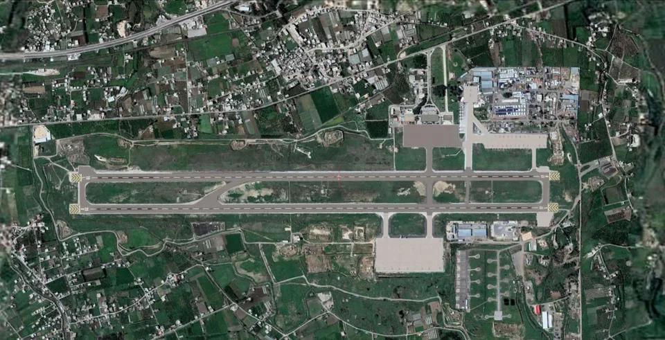
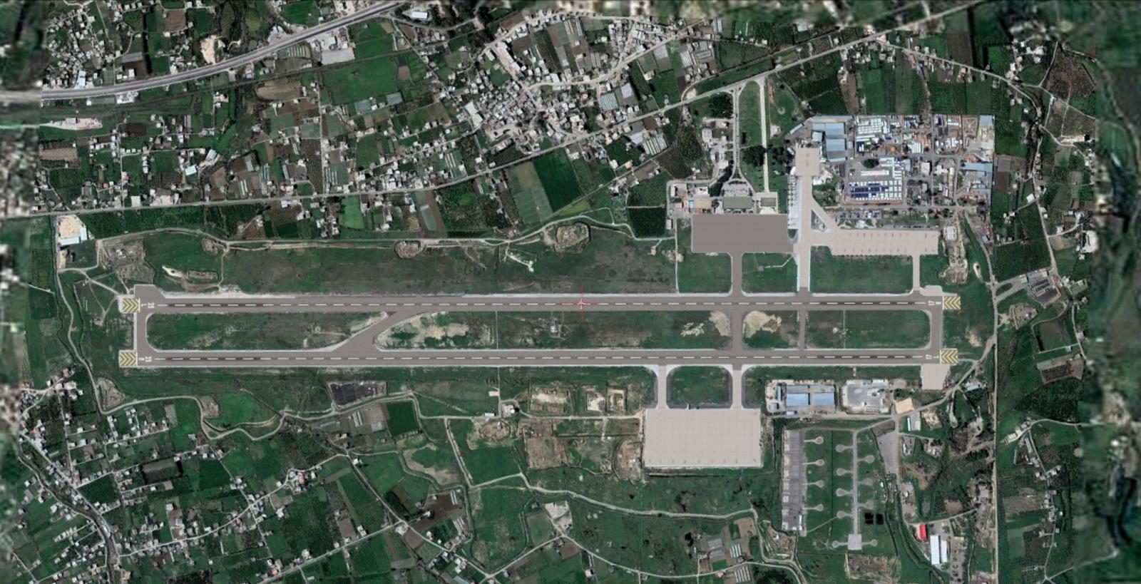
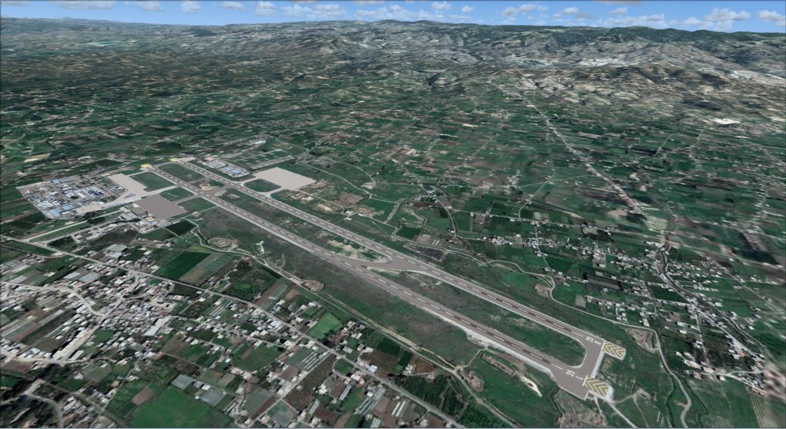
Maher Souriti / PRO Simulation’s Syrian Coast Photoreal covers the Syrian coastline with high-definition satellite imagery for FSX, FSX Steam Edition and Prepar3D v4.5.
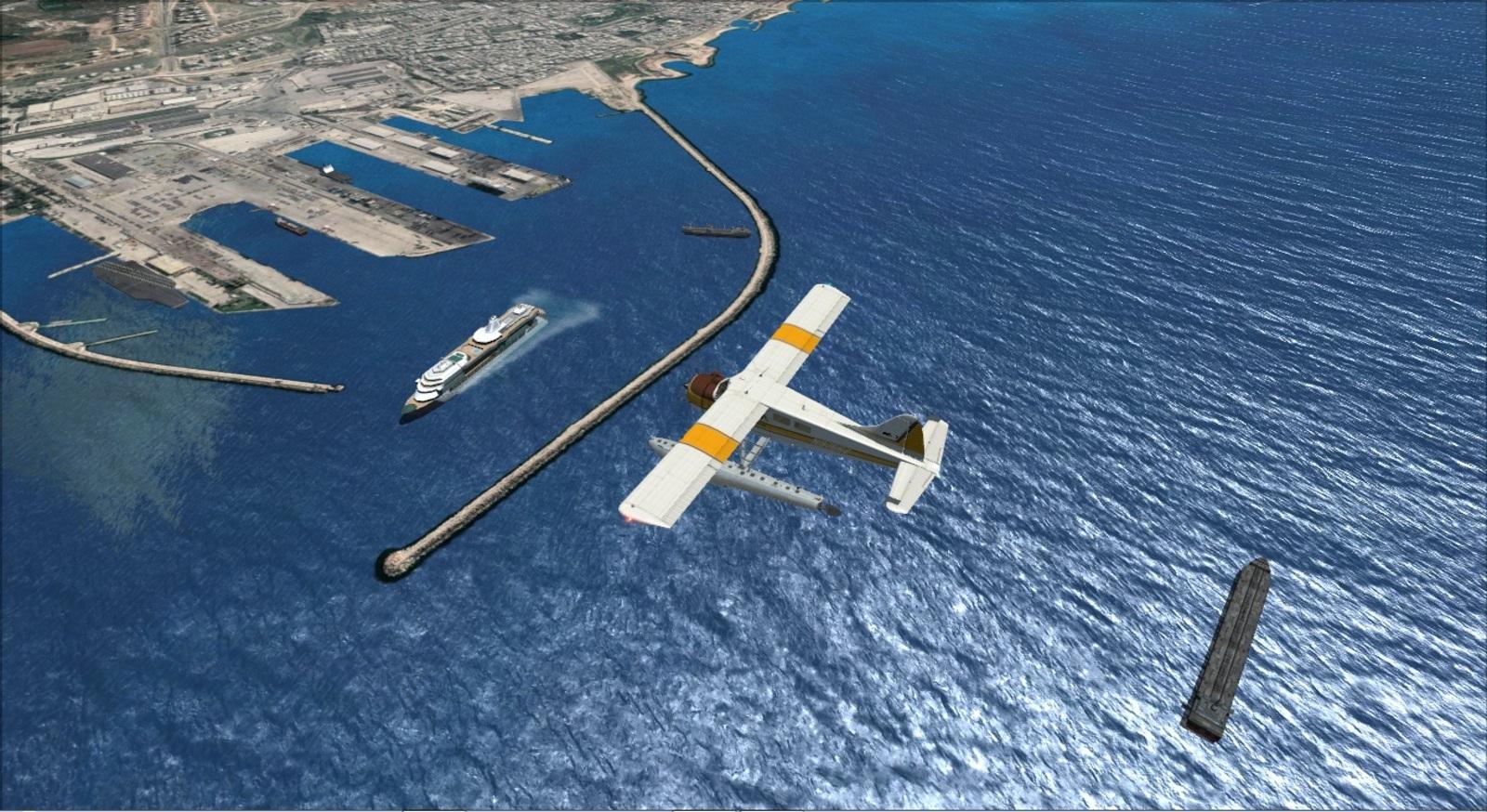
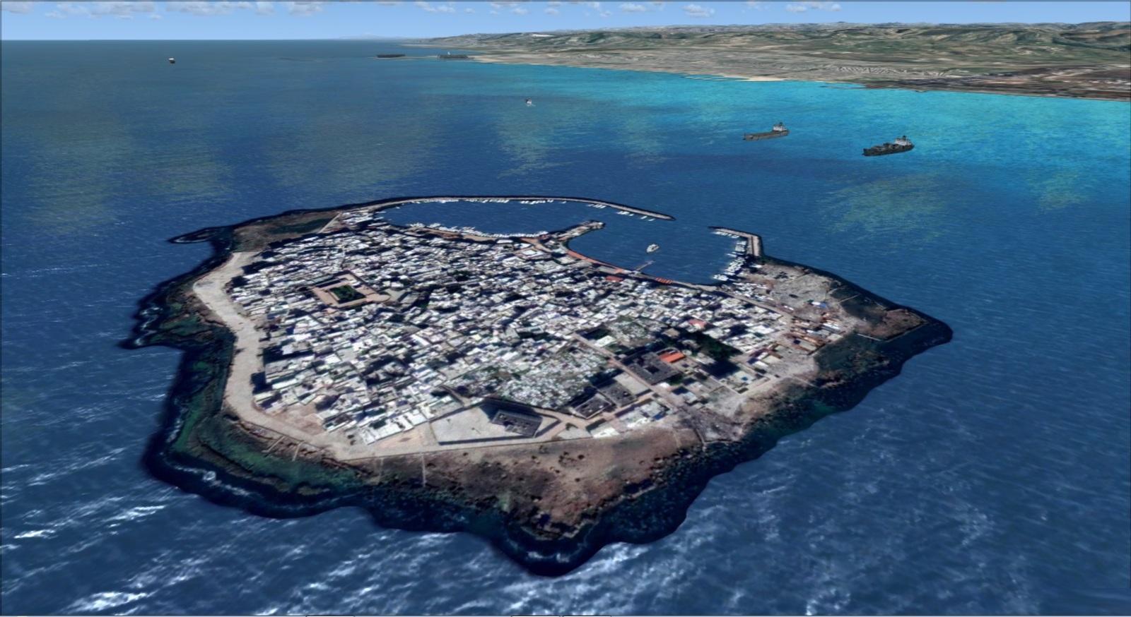
Start at Latakia Airport, OSLK, to follow the Mediterranean coast. The port and its large ships provide landmarks, with the coastline continuing towards Tartus and Arwad Island, about three kilometres offshore.
The shipping traffic is animated: 3D vessels follow defined routes and schedules. Consult the documentation for sailing times when planning a flight to observe them.
Distribution conditions: the author reserves this package for Rikoooo. Modification or republication requires his written permission. The 8 February 2020 update concerns copyright compliance. The PayPal button allows you to support Maher Souriti’s work.


Release notes
Licences and credits
- Author
- PRO Simulation - Developer and Designer : MAHER SOURITI
Comments
Flight experiences, tips and questions from Rikoooo members.
Loading discussions…