
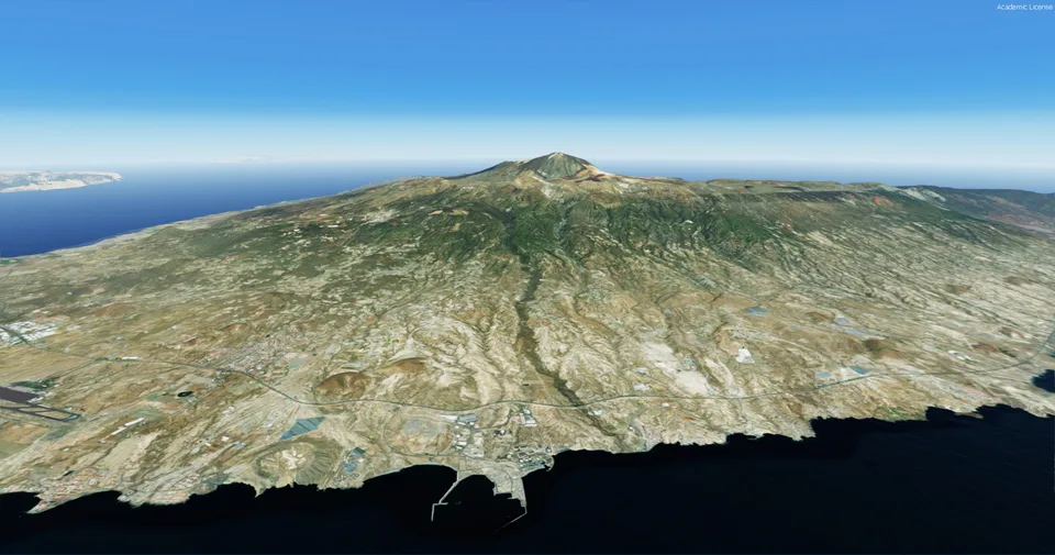
Tenerife Island Photoreal FSX & P3D
Island-wide photographic coverage with buildings, trees and night textures. Designed for v4 and v5, with FSX support stated as provisional.
Images and screenshots
4 photosFull screen
On this page
Overview
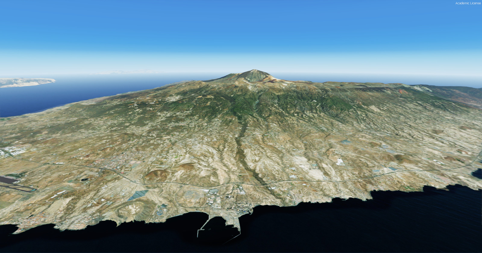
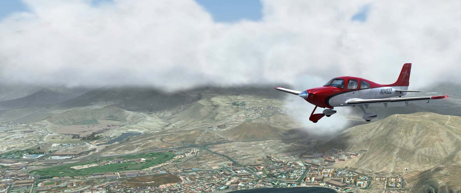
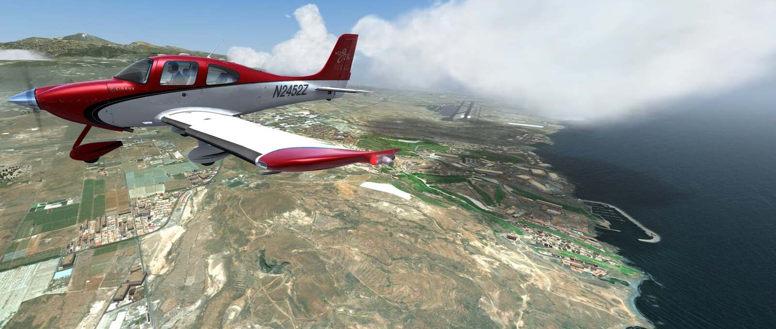
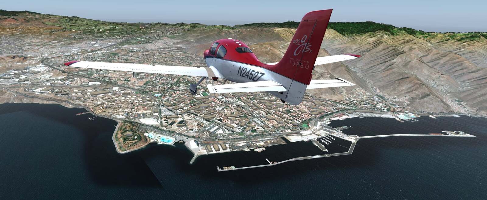
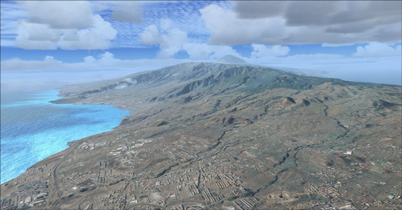
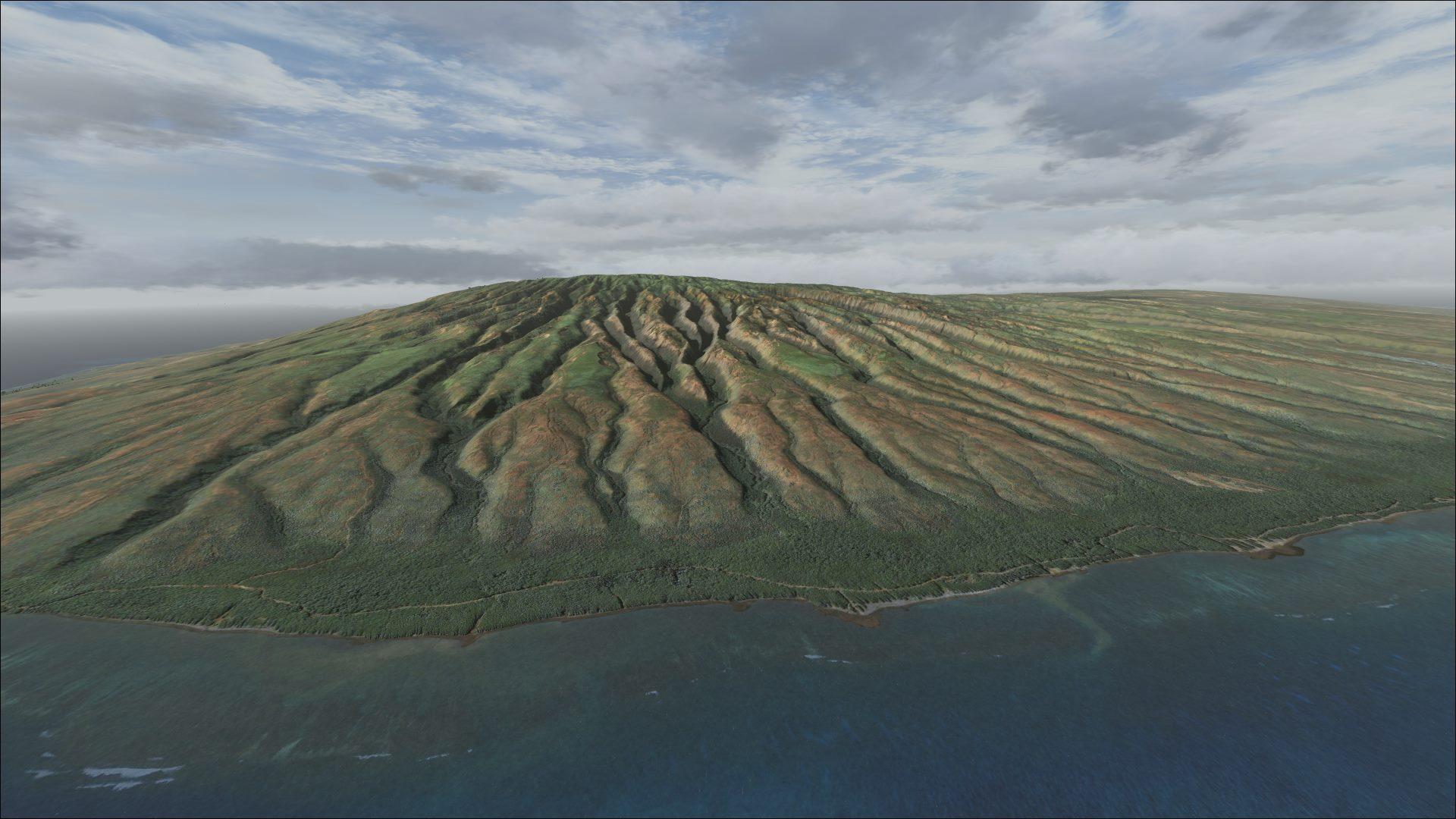
BravoKiloNiner 2021’s scenery covers the whole of Tenerife with photographic ground textures. It was designed for Prepar3D v4 and v5; operation in FSX is described as possible rather than confirmed to the same extent.
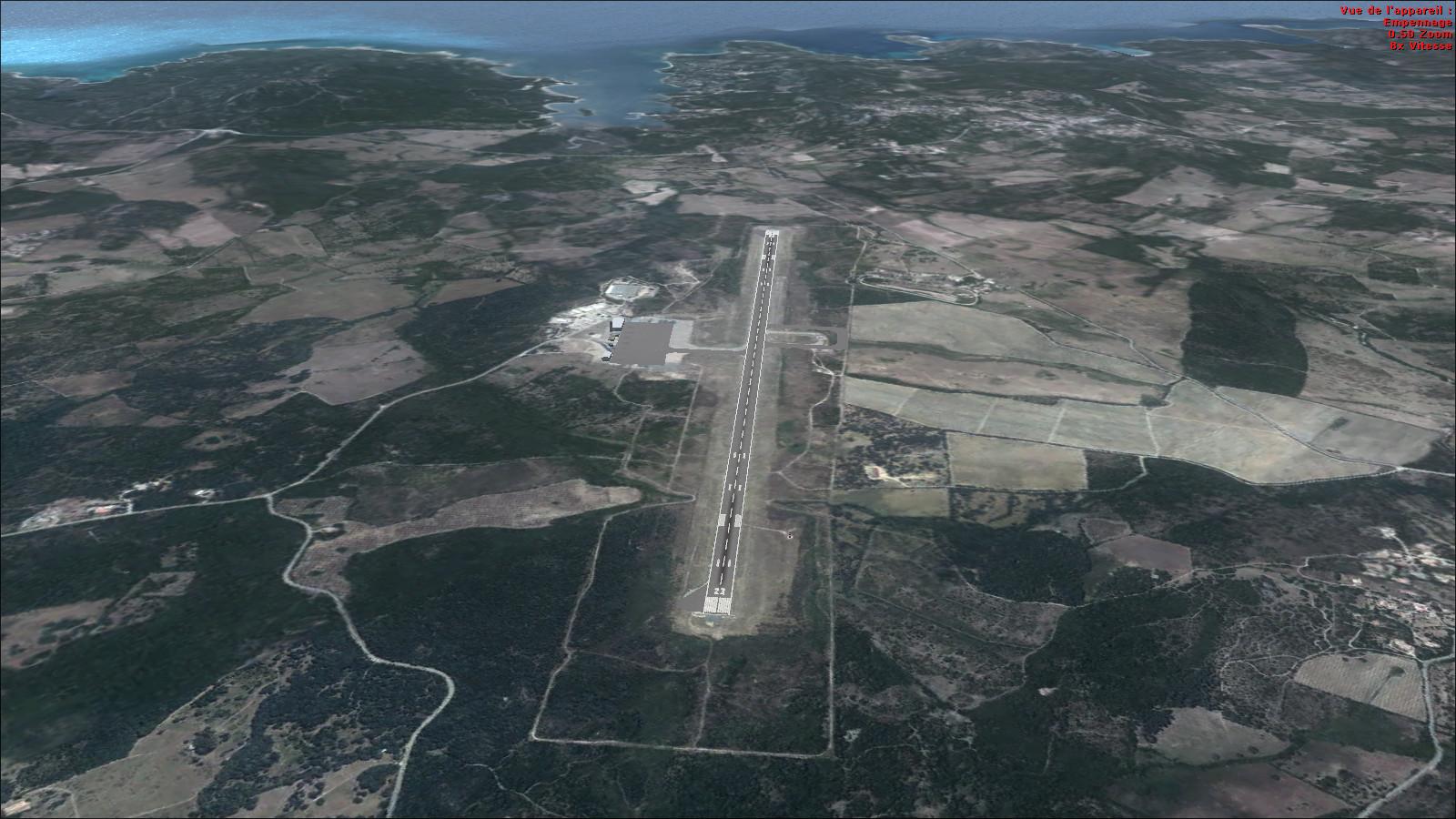
Simple autogen adds several building and tree types, alongside night textures produced using ScenProc. Objects come from the simulator’s default library. Both island airports are included: Tenerife South (GCTS) and Tenerife North (GCXO).
The volcanic terrain around Teide, the pale and black-sand coastline, and the Los Cristianos and Playa de las Américas areas provide landmarks for a tour. Tenerife is the largest Canary Island, and Teide is Spain’s highest peak.
You can support BravoKiloNiner 2021.


Licences and credits
- Author
- BravoKiloNiner 2021
Comments
Flight experiences, tips and questions from Rikoooo members.
Loading discussions…