
Salt Lake City Photoreal FSX & P3D
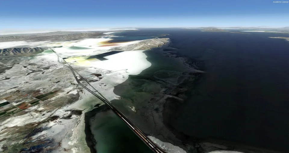
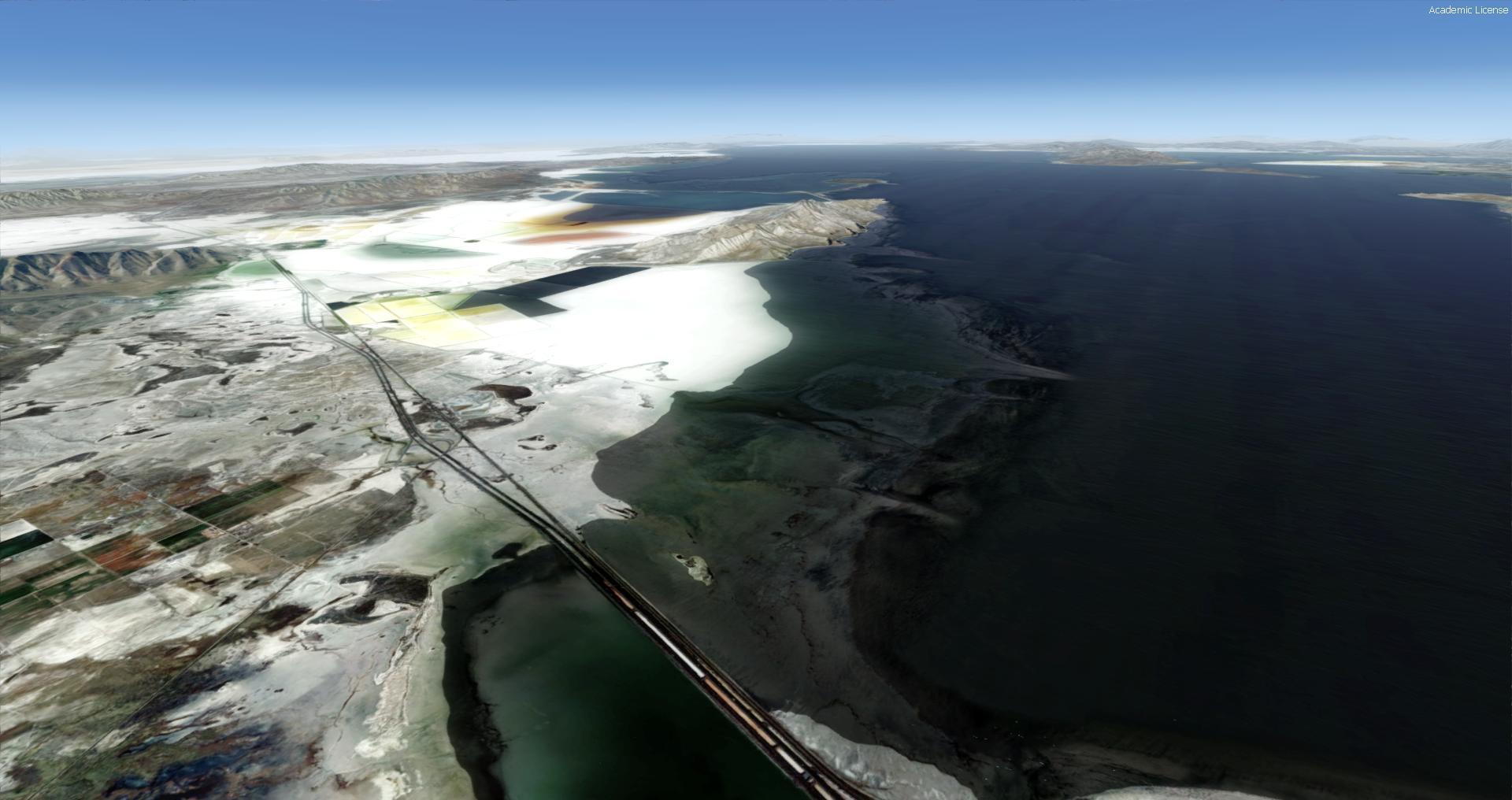
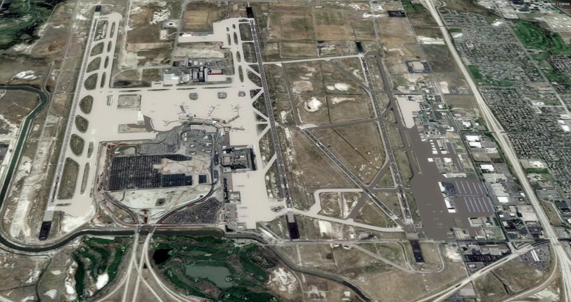
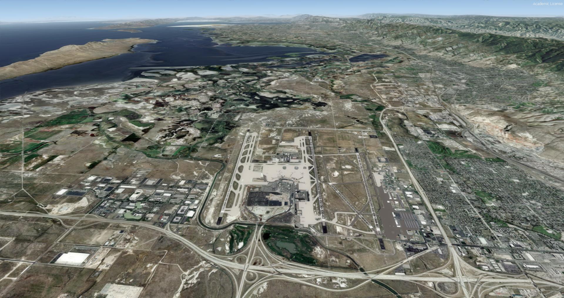
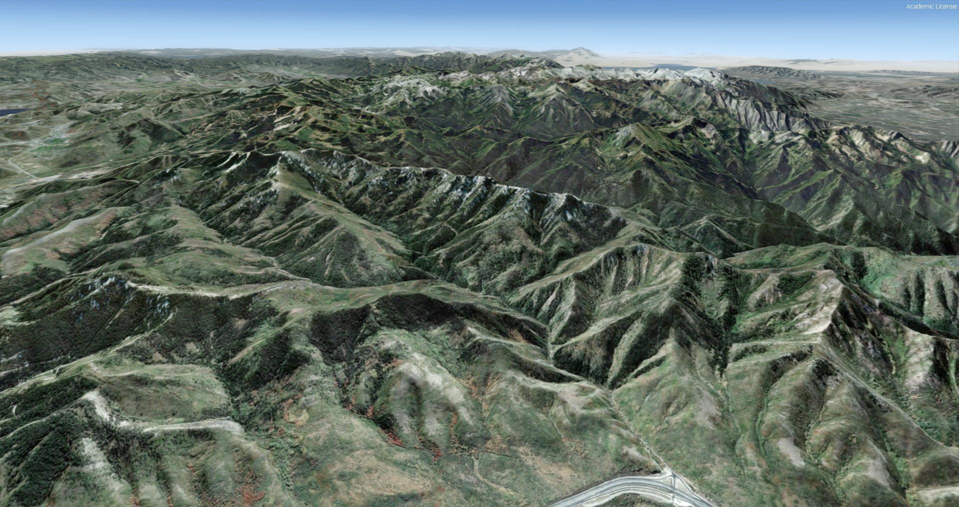
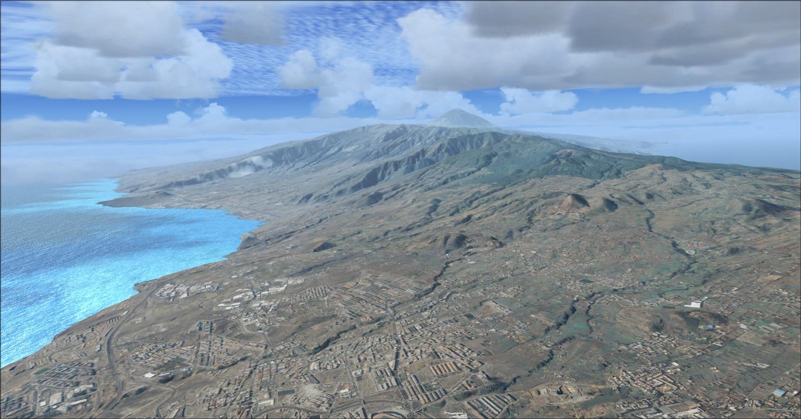
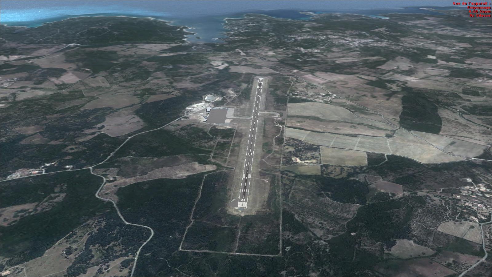
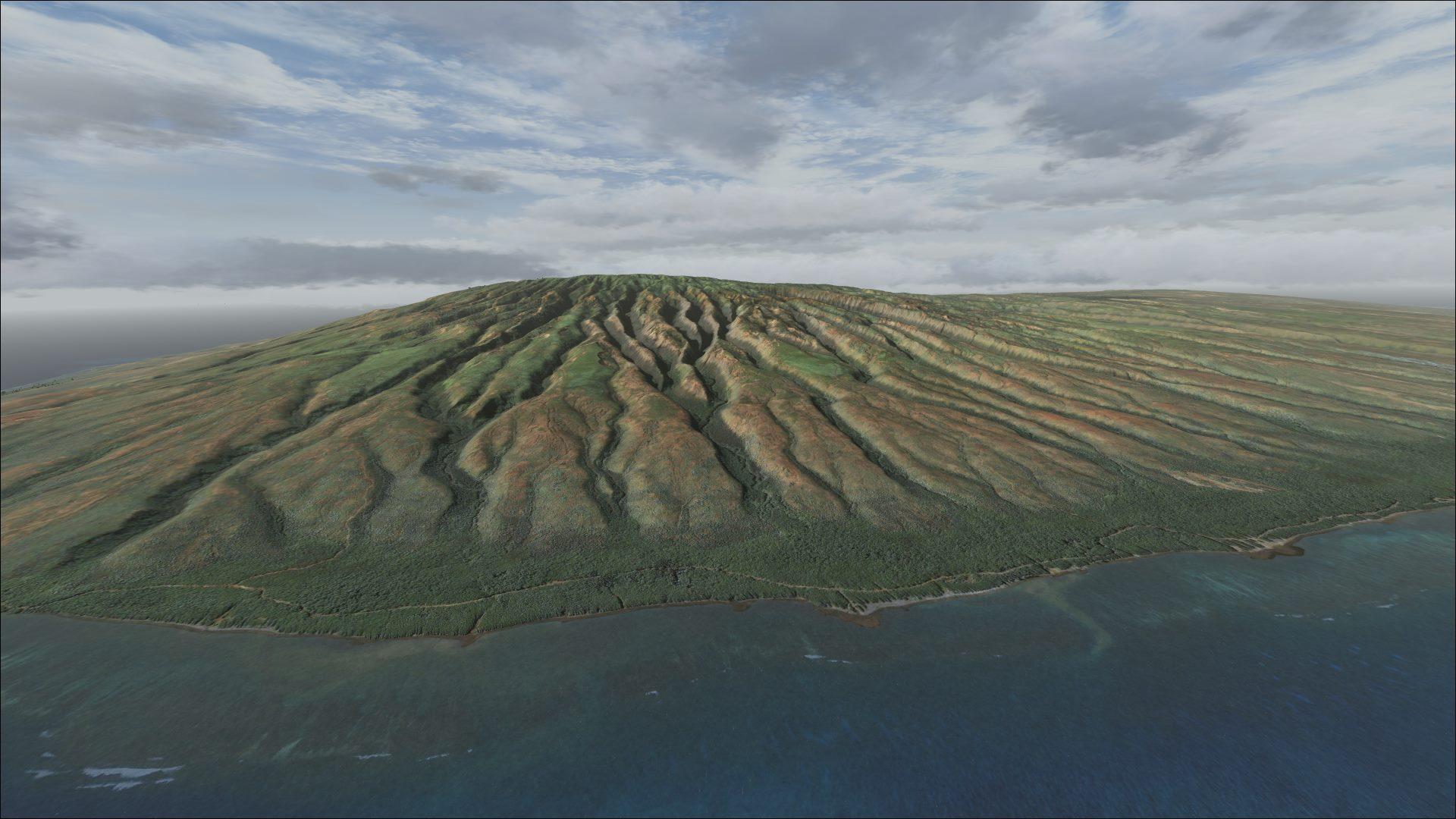
Photographic textures at 1 m/pixel and a 10 m elevation mesh cover the city, surrounding mountains and salt lakes for visual navigation.
Images and screenshots
4 photosFull screen
On this page
Overview
Blue Sky Scenery’s coverage of Salt Lake City and the surrounding Utah region is for FSX and Prepar3D v4. The international airport uses the code KSLC.
Photographic textures have a resolution of 1 metre per pixel, with a 10-metre elevation mesh. Coverage combines the urban area, surrounding mountains and salt lakes, providing recognisable landmarks for visual navigation.
Use the coverage map below to check the scenery boundaries before choosing your route.


Licences and credits
- Author
- Blue Sky Scenery
Comments
Flight experiences, tips and questions from Rikoooo members.
Loading discussions…